Map of the Rio Grande El Paso-Juarez Valley circa 1930
Mapa del Río Grande, el Valle El Paso-Juarez

Map of the Rio Grande El Paso-Juarez Valley circa 1930
This map illustrates the river path between El Paso, Texas and Juarez, Mexico. The location of the International Dam, Riverside Heading, Monument No. 1 and No. 21, Arroyo del Alamo, Diablo Arroyo, and Fort Quitman are pinpointed.
Report this entry
More from the same community-collection
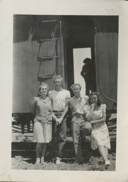
Still Waiting for the Train to El Paso
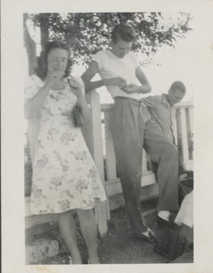
Vera Whetten (Pratt), Linden Bluth, Demar Farnsworth Summer 1945 ...
Still Waiting for the Train to El Paso (2)
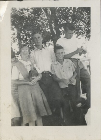
Sister Romney, Maxell Romney, Maxell's nephew, Lindon Bluth ...
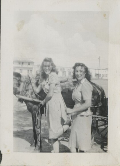
Barbara's Ride on the Horse Drawn Banana Cart
Barbara Barret and Vera Whetten (Pratt) preparing to ride in a ...
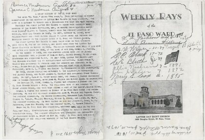
Celebrating the 20th Anniversary of El Paso First Ward Program
20th Anniversary program cover for the Douglas Chapel, the first ...
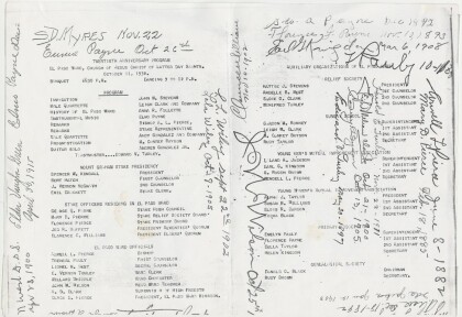
Celebrating the 20th Anniversary of El Paso First Ward (2)
20th Anniversary program for the Douglas Chapel, the first LDS ...
Toni's First Ballet Recital Colonia Dublin Stake Center
Toni Marie Jones loved the recital because everyone she loved ...
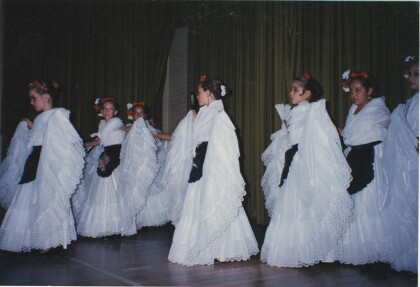
Folklorico Dance Recital Juarez Stake Academy, Chihuahua Mexico
Toni Marie Jones, Juarez Stake Academy, Chihuahua, Mexico 1996?
