Map of the Rio Grande El Paso-Juarez Valley circa 1930
Mapa del Río Grande, el Valle El Paso-Juarez

Map of the Rio Grande El Paso-Juarez Valley circa 1930
This map illustrates the river path between El Paso, Texas and Juarez, Mexico. The location of the International Dam, Riverside Heading, Monument No. 1 and No. 21, Arroyo del Alamo, Diablo Arroyo, and Fort Quitman are pinpointed.
Report this entry
More from the same community-collection
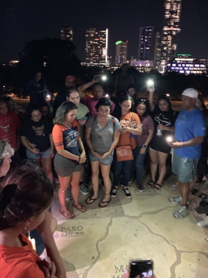
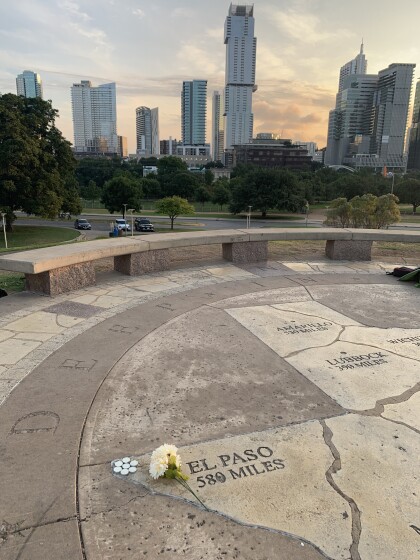
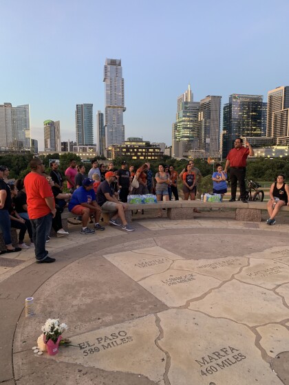
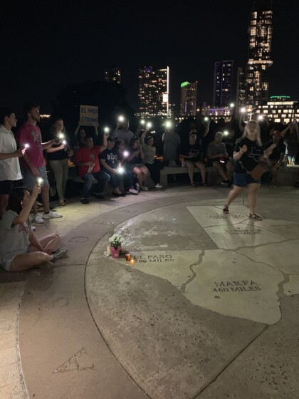
Remembering the victims of EP Shooting, from 580 miles away.
The names of the victims were called and a minute of silence ...
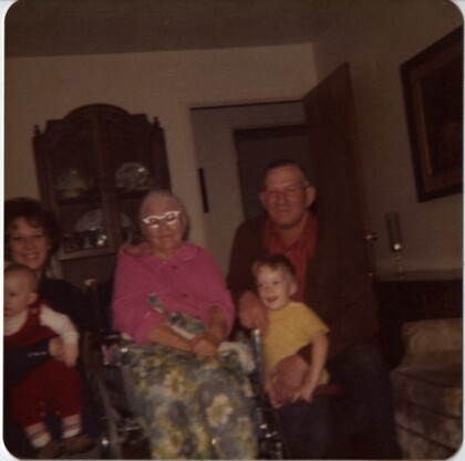
Four Generation Kirkham Family Picture
B-Carol Hatch, Nan Kirkham (Carol's Grandmother), Cleo Kirkham ...
Grandma Grover Four Generation Photo
B-Blanche Grover Kirkham (Carol's Mom), Elnorah Grover, Carol ...
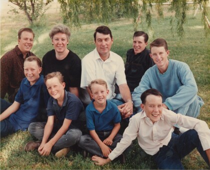
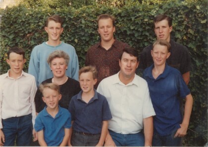
Travis Hatch Wedding Family Picture
B-Garrett, Gerald F-Berkley, Gregory, Randall, Quintin, Carol, ...
