Map of the Rio Grande El Paso-Juarez Valley circa 1930
Mapa del Río Grande, el Valle El Paso-Juarez

Map of the Rio Grande El Paso-Juarez Valley circa 1930
This map illustrates the river path between El Paso, Texas and Juarez, Mexico. The location of the International Dam, Riverside Heading, Monument No. 1 and No. 21, Arroyo del Alamo, Diablo Arroyo, and Fort Quitman are pinpointed.
Report this entry
More from the same community-collection
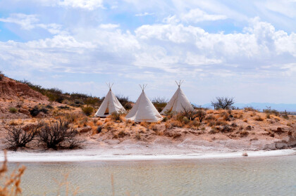
Teepees at Indian Cliffs Ranch in Fabens, TX
Teepees at Indian Cliffs Ranch in Fabens, TX - These tepees are ...
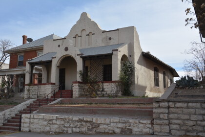
Headquarters of F. I. Madero (Casa Adobe)
The notation on the back of the image says: " Across the Rio ...
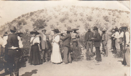
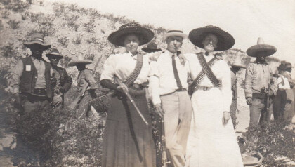
Tourists During Mexican Revolution
Two women and a man (center left) are preparing to pose for ...
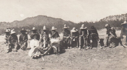
Tourists during Mexican Revolution
A group of people is sitting in the dessert. The two women and ...
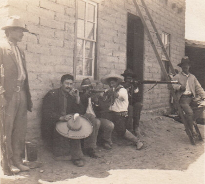
Tourists during Mexican Revolution, part 4
Two women and one man are posing with some rebels for a ...

