Map of the Rio Grande El Paso-Juarez Valley circa 1930
Mapa del Río Grande, el Valle El Paso-Juarez

Map of the Rio Grande El Paso-Juarez Valley circa 1930
This map illustrates the river path between El Paso, Texas and Juarez, Mexico. The location of the International Dam, Riverside Heading, Monument No. 1 and No. 21, Arroyo del Alamo, Diablo Arroyo, and Fort Quitman are pinpointed.
Report this entry
More from the same community-collection
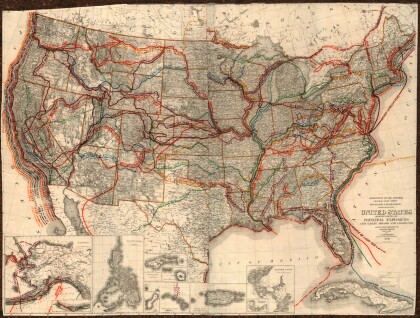
United States - Routes of Principal Explorers
This United States map colorfully illustrates routes taken by ...
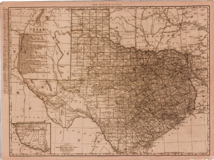
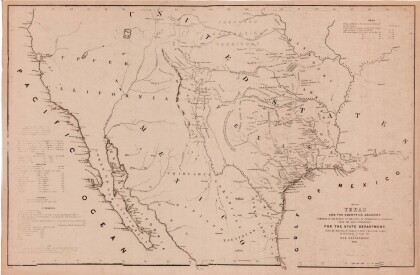
Map of Texas and the Countries Adjacent
This map of Texas and its adjacent countries was compiled for ...
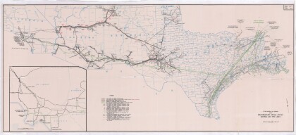
Map of Southwestern United States Natural Gas Pipe Lines
This map illustrates natural gas pipelines extending from ...
