Map of the Rio Grande El Paso-Juarez Valley circa 1930
Mapa del Río Grande, el Valle El Paso-Juarez

Map of the Rio Grande El Paso-Juarez Valley circa 1930
This map illustrates the river path between El Paso, Texas and Juarez, Mexico. The location of the International Dam, Riverside Heading, Monument No. 1 and No. 21, Arroyo del Alamo, Diablo Arroyo, and Fort Quitman are pinpointed.
Report this entry
More from the same community-collection
Alfredo Lozano - Company E, 1940 - 1949
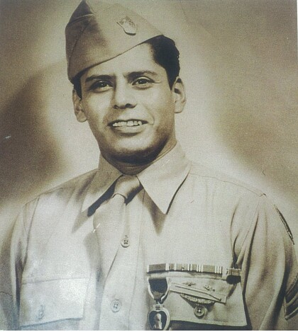
Photograph of Alfredo Lozano after receiving the purple heart. ...
Colonel Armando Ruiz - 1940 - 1949
Colonel Armando "Tommy" Ruiz, is a Graduate of Bowie high school ...
Emblem - 141st Regiment-2nd Battalion - Company E - 1941
Emblem - 141st Regiment-2nd Battalion - Company E - 36th ...
Lorenzo Macias - Company E - 1941
Lorenzo Macias member of Company E was killed in action December ...
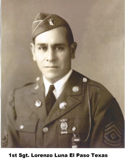
Lorenzo Luna - Company E - 1941
Lorenzo Luna was a member of Company E. Hispanics of the 141st ...
Rafael Torres - Company E - 1942
Rafael Torres - Company E - 1942 - member of the famous Company ...
Ramon G. Gutierrez - Company E - 1942
Ramon G. Gutierrez was a member of Company E during World War ...
Marcelino Valadez - Company E - 1942
Marcelino Valadez - Company E - 1942 - member of Company E. An ...
Ricardo Palacios Jr. - 1941 - Company E
Ricardo Palacios Jr. at Camp Bowie - Brownwood, Texas. Ricardo ...
