Map of the Rio Grande El Paso-Juarez Valley circa 1930
Mapa del Río Grande, el Valle El Paso-Juarez

Map of the Rio Grande El Paso-Juarez Valley circa 1930
This map illustrates the river path between El Paso, Texas and Juarez, Mexico. The location of the International Dam, Riverside Heading, Monument No. 1 and No. 21, Arroyo del Alamo, Diablo Arroyo, and Fort Quitman are pinpointed.
Report this entry
More from the same community-collection
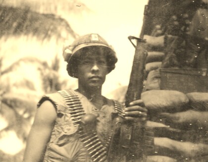
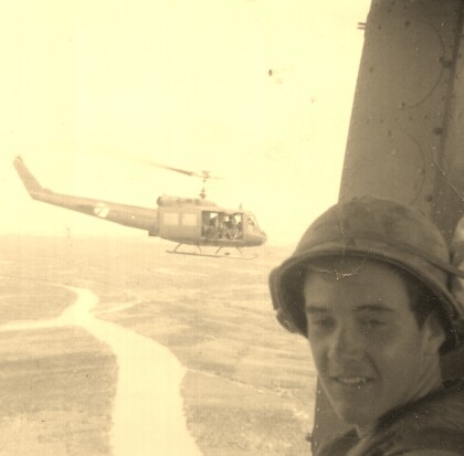
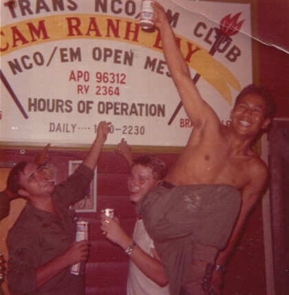
Fernando F. Villela - Vietnam - 1969
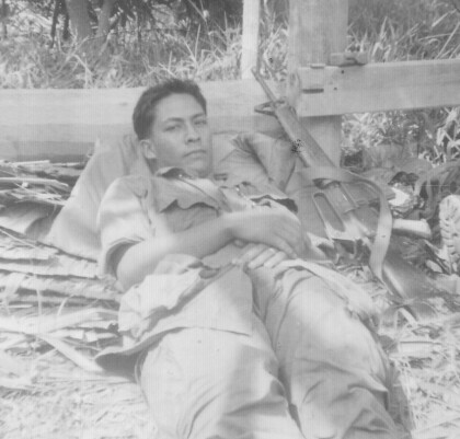
Fernando F. Villela laying down after a fire-fight from treeline ...
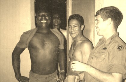
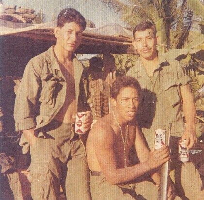
Fernando F. Villela - Vietnam - 1969
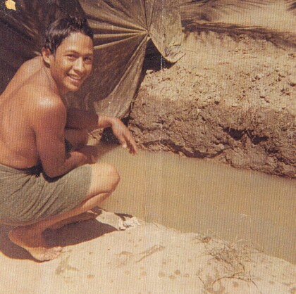
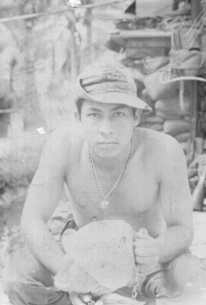
Fernando F. Villela - Vietnam - 1969 "Just showered at bunker ...
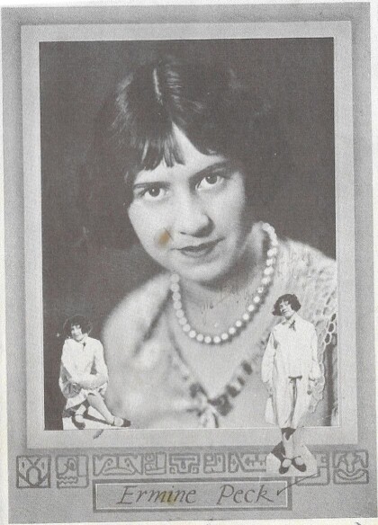
Ermine Peck McKay Hourigan - 1926
Mother of Thomas McKay - Founder - El Paso Boxing - Martial Arts ...
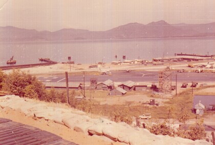
Camranh Bay in Vietnam - Fernando Villela - 1969
Photograph: Overview of Cam ranh Bay in Vietnam - 1969. On April ...
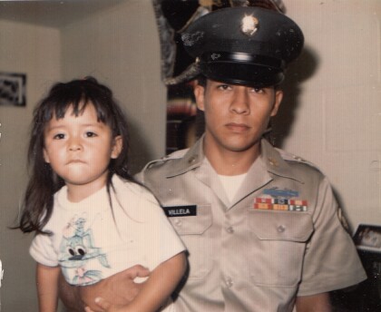
Fernando Villela Holding His Daughter - 1971
" Just before I got out of the Army". Fernando Villela holding ...
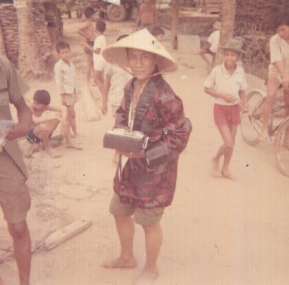
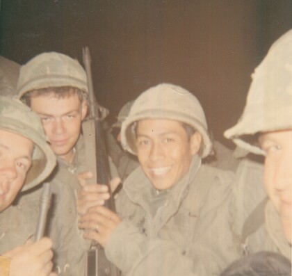
Vietnam - 1969 - Fernando Villela
"First Lieutenant in our company - real straight nice guy - in ...
