Map of the Rio Grande El Paso-Juarez Valley circa 1930
Mapa del Río Grande, el Valle El Paso-Juarez

Map of the Rio Grande El Paso-Juarez Valley circa 1930
This map illustrates the river path between El Paso, Texas and Juarez, Mexico. The location of the International Dam, Riverside Heading, Monument No. 1 and No. 21, Arroyo del Alamo, Diablo Arroyo, and Fort Quitman are pinpointed.
Report this entry
More from the same community-collection
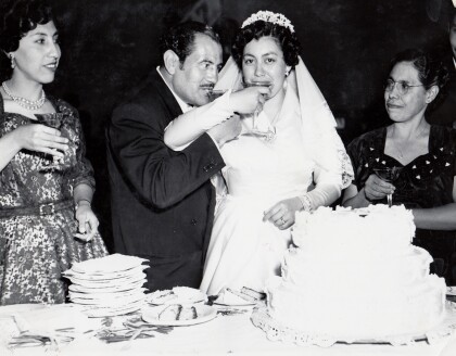
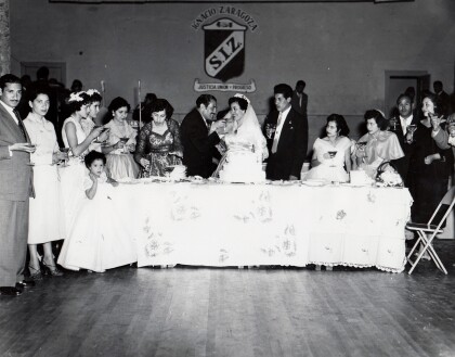
Herminia and Ray Duran's Wedding Toast
Herminia and Ray Duran toast as newlyweds next to Herminia's ...
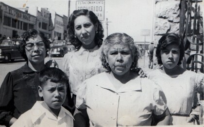
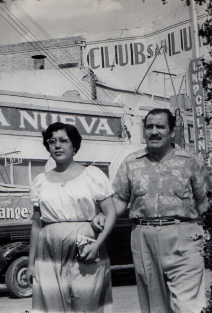
Cardiel Family Downtown Juarez, Mexico - 1950's
Cardiel Family including Guadalupe Cardiel, Carmen Cardie ...
Herminia and Ray Duran's Wedding Toast
Herminia and Ray Duran toast at their wedding surrounded by ...
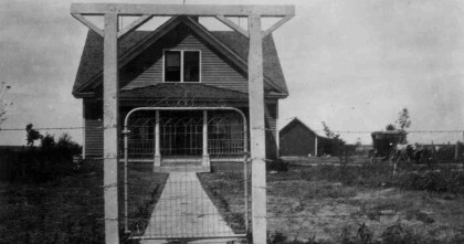
Nona and Dale Resler's First Home
The house formally known to Dale as "The Bachelor's Den" became ...
