Map of the Rio Grande El Paso-Juarez Valley circa 1930
Mapa del Río Grande, el Valle El Paso-Juarez

Map of the Rio Grande El Paso-Juarez Valley circa 1930
This map illustrates the river path between El Paso, Texas and Juarez, Mexico. The location of the International Dam, Riverside Heading, Monument No. 1 and No. 21, Arroyo del Alamo, Diablo Arroyo, and Fort Quitman are pinpointed.
Report this entry
More from the same community-collection
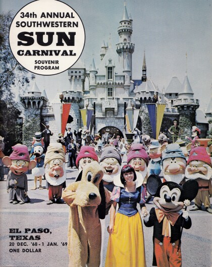
34th Annual Southwestern Sun Carnival Souvenir Program
The back cover of the 1968-1969 Southwestern Sun Carnival ...
Cover of the 34th Annual Southwestern Sun Carnival Program
Since 1936, New Years in El Paso has been rung in by the Sun ...
DIGIE - Award for Technology Competition
Jamie Knoedler, Community Engagement Coordinator receives an ...
George Maloof III - Curator of Archaeology Museum
George Maloof III. - Curator of Archaeology Museum - El Paso, ...
Ruben Gonzalez -Honored Veterans Day - 2015
Ruben Gonzalez -Honored Veterans Day - 2015. Streets and ...
Father Nerinckx founder of the Sisters of Loretto
Rev. Charles Nerinckx was a Roman Catholic missionary priest ...
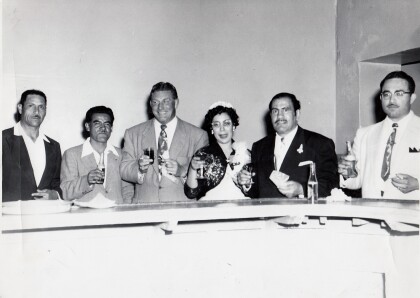
Herminia and Ray Duran's Wedding Toast
Herminia Cardiel Duran and Ray Duran toast alongside area ...
