Map of the Rio Grande El Paso-Juarez Valley circa 1930
Mapa del Río Grande, el Valle El Paso-Juarez

Map of the Rio Grande El Paso-Juarez Valley circa 1930
This map illustrates the river path between El Paso, Texas and Juarez, Mexico. The location of the International Dam, Riverside Heading, Monument No. 1 and No. 21, Arroyo del Alamo, Diablo Arroyo, and Fort Quitman are pinpointed.
Report this entry
More from the same community-collection
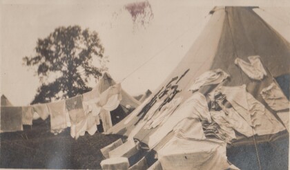
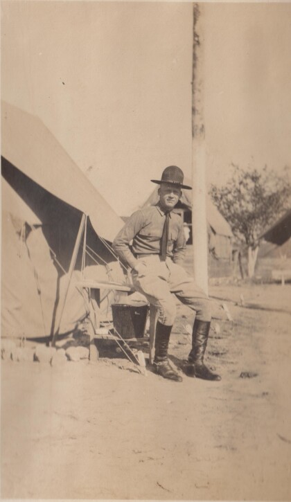
My tent at Gordonsville, Virginia
Drill camp for the Richmond Light Infantry. Apparently laundry ...
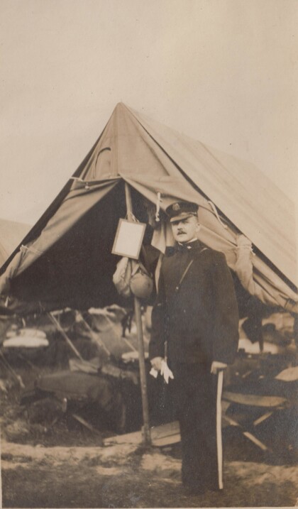
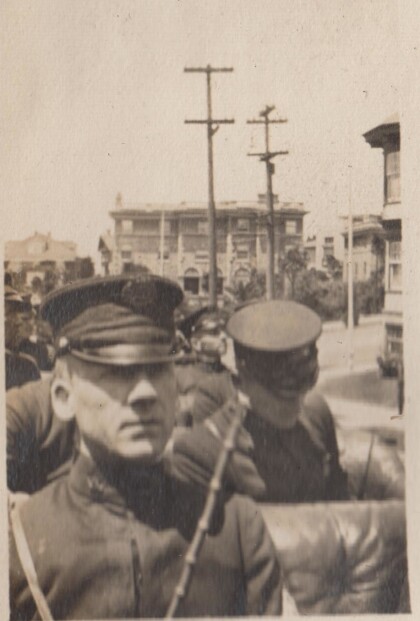
An officer of the Richmond Light Infantry
This photographs is probably from the Gordonsville encampment.
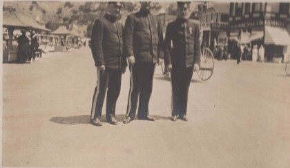
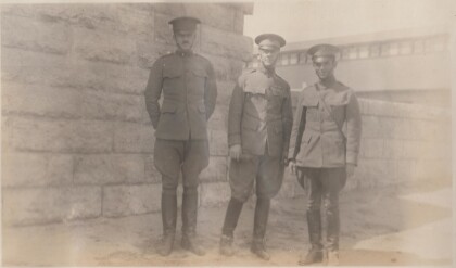
Evans, Epps, and Jones in Catalina, California
The Richmond Light Infantry traveled to California in 1915.
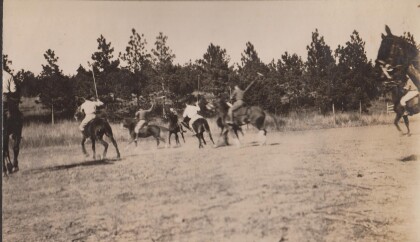
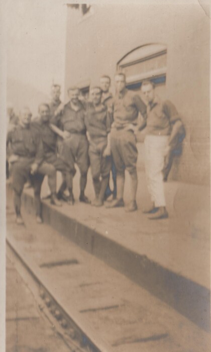
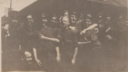
A dirty crowd at Montgovery, West Virginia
This is the Richmond Light Infantry,probably on route to ...
Featherston at training camp in Alabama
The Virgina Cavalry may have gone to training camp in Alabama ...
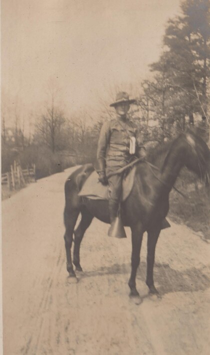
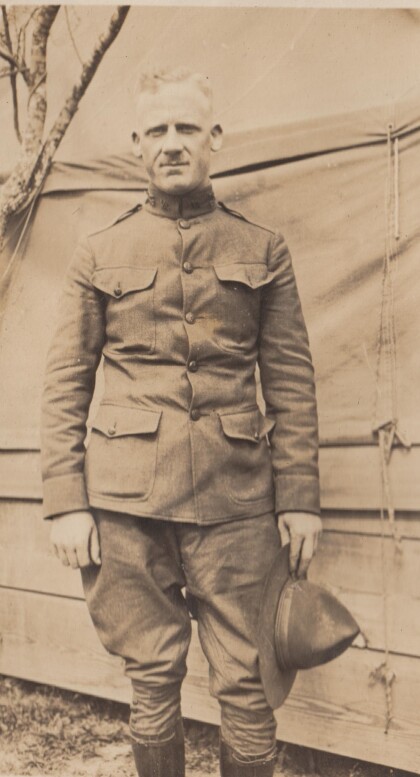
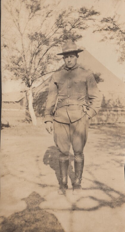
Lt. Featherstone, "B" Troop, Virginia Cavalry
The Virginia Cavalry were National Guard troops serving on the ...
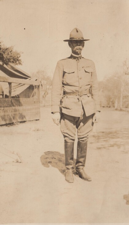
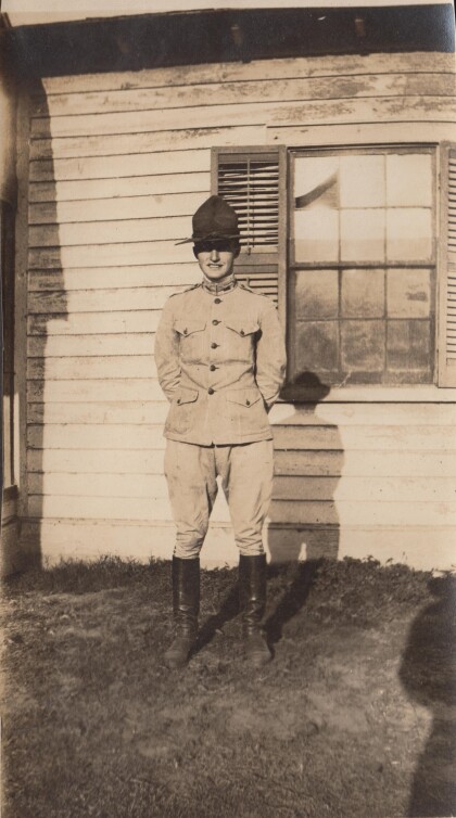
Lt. Burke, "A" Troop, Virginia Cavalry
The Virginia Cavalry was mustered into the National Guard for ...
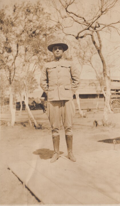
Lt. Parsons, "D" Troop, Virginia Cavalry
The Virginia Cavalry were National Guard troops who served on ...
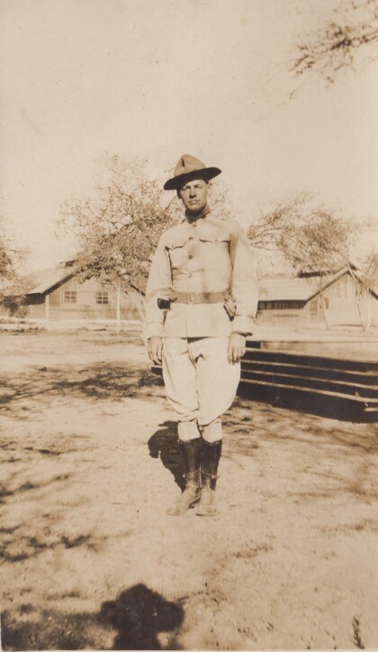
Lt. Sweeney, "A" Troop, Virginia Cavalry
The Virginia Cavalry served on the border in 1916 as National ...
