Map of the Rio Grande El Paso-Juarez Valley circa 1930
Mapa del Río Grande, el Valle El Paso-Juarez

Map of the Rio Grande El Paso-Juarez Valley circa 1930
This map illustrates the river path between El Paso, Texas and Juarez, Mexico. The location of the International Dam, Riverside Heading, Monument No. 1 and No. 21, Arroyo del Alamo, Diablo Arroyo, and Fort Quitman are pinpointed.
Report this entry
More from the same community-collection
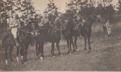
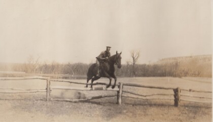
Polo Team, Troop "B" Va. Cav., Anniston, Alabama
Lt. Col. Featherstone served in the Virginia National Guard, and ...
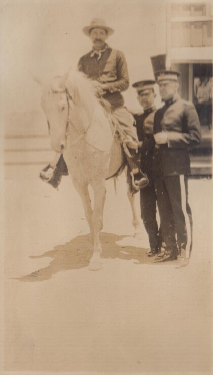
A "Bad Man" at Albuquerque, New Mexico
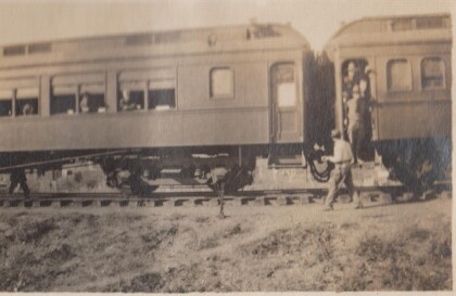
In 1915, the Richmond Light Infantry took a train trip to ...
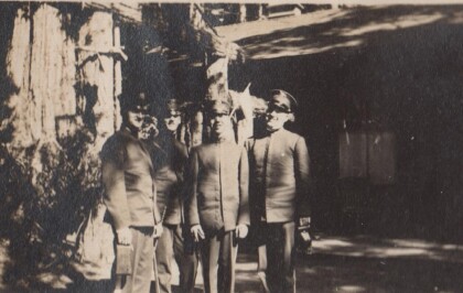
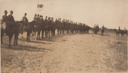
Inspection, B Troop, Virgina Cavalry
Lt. Col. Featherstone was First Sergeant, then 2nd Lieutenant, ...
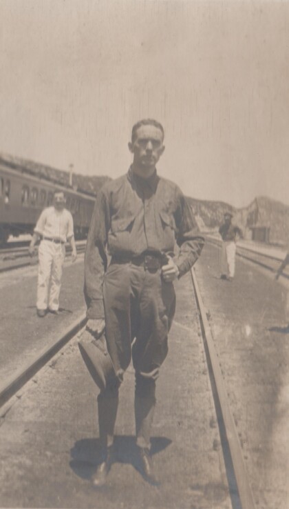
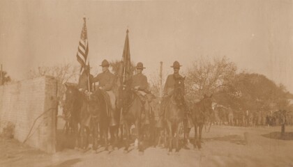
Capt. Puller [sic], Virginia Cavalry
The Virginia Cavalry was a National Guard unit that served on ...


![Capt. Puller [sic], Virginia Cavalry](https://www.digie.org/media_cache/27601/27601_latest_upload.jpg)
