Map of the Rio Grande El Paso-Juarez Valley circa 1930
Mapa del Río Grande, el Valle El Paso-Juarez

Map of the Rio Grande El Paso-Juarez Valley circa 1930
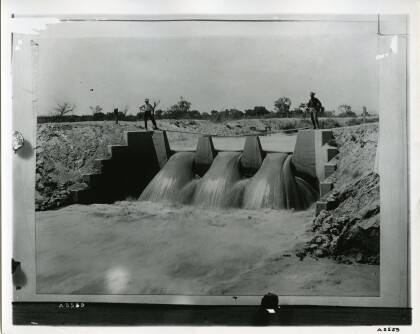
This map illustrates the river path between El Paso, Texas and Juarez, Mexico. The location of the International Dam, Riverside Heading, Monument No. 1 and No. 21, Arroyo del Alamo, Diablo Arroyo, and Fort Quitman are pinpointed.
Report this entry
More from the same community-collection
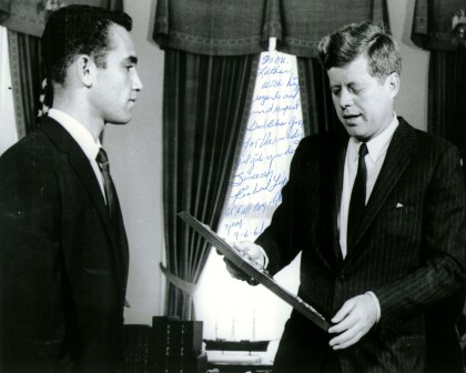
John F. Kennedy with Richard Lopez of El Paso, TX 1961
President John F. Kennedy meets with the Boys' Clubs of ...
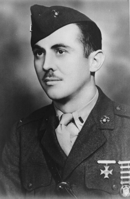
First Lieutenant William Deane Hawkins - El Paso, Texas
Deane Hawkins was a smart boy-at El Paso's Lamar and Alta Vista ...
Fitzgerald Children on Horseback
Gertrude Fitzgerald took pictures of her own children as well as ...
