J. De Cordova's State of Texas
Estado de Texas por J. De Cordova
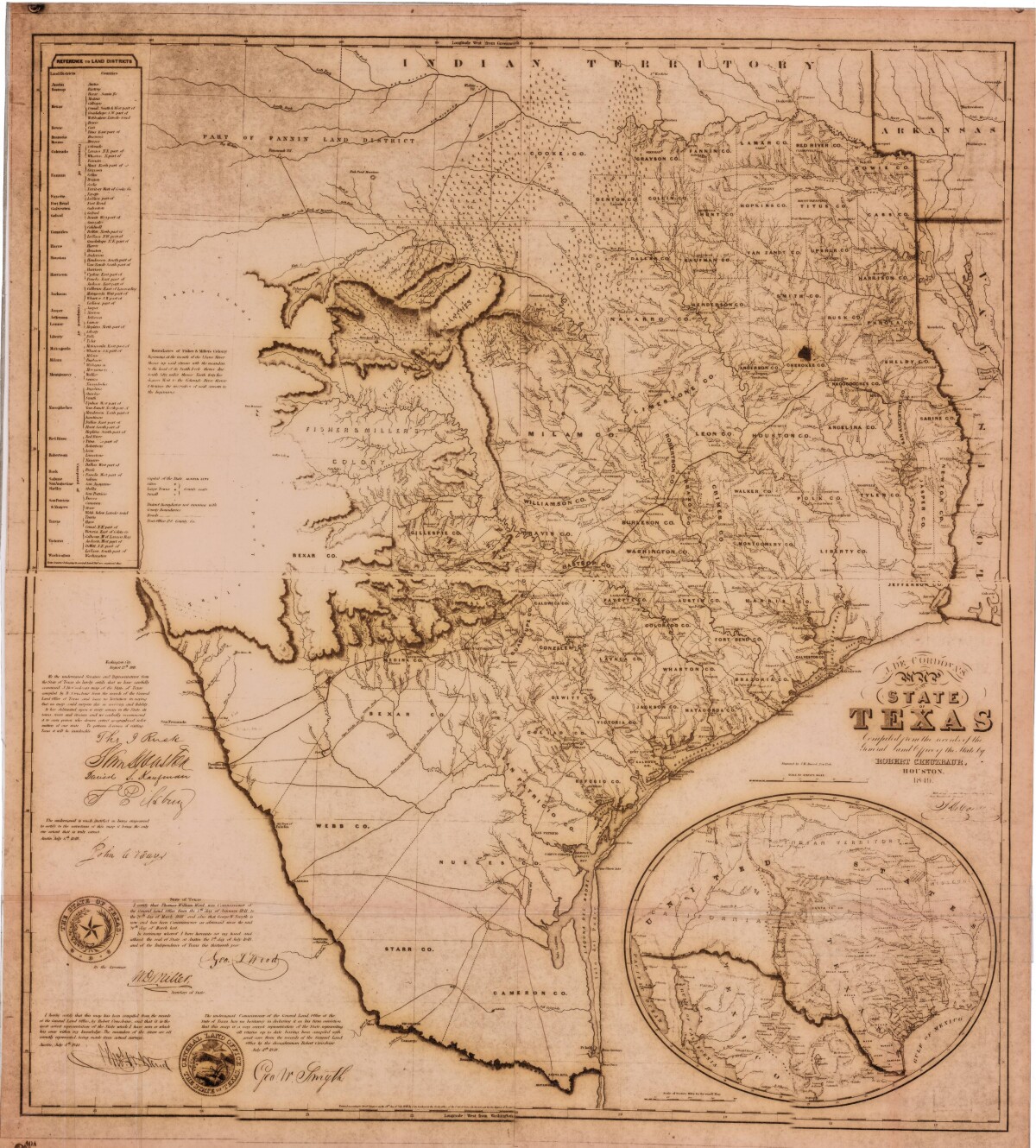
J. De Cordova's State of Texas
This geographical map of Texas was compiled from the records of the General Land Office of the State of Texas. Affirmations from a General Land Office officer assert that the "meander of the rivers are all correctly represented". A list of land districts, a note regarding boundaries of Fisher & Miller's Colony, and a legend for cities, large and small towns are also shown.
Report this entry
More from the same community-collection
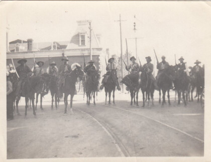
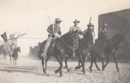
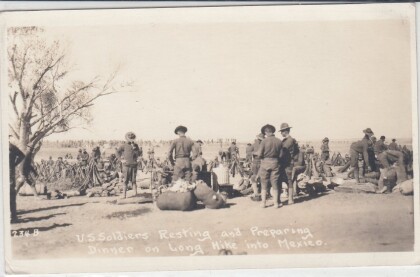
Soldiers During The Mexican Revolution
Notation on front of image: "Villa" Visible: Four men riding ...
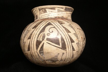
Casas Grande Pottery with the El Paso Museum of Archaeology Logo
Casas Grandes was a prehistoric trading center/religious center ...
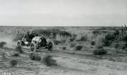
Johnny Hutchins in Car Race - El Paso, Texas
The picture shows driver Johnny Hutchins during the annual El ...
El Paso County Historical Society
Unidentified men on top of the train, and in front is an African ...
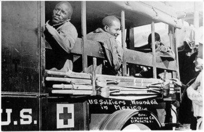
Wounded Soldiers - Buffalo Soldiers - 1916
In June, Pershing received intelligence that Villa was at ...
