J. De Cordova's State of Texas
Estado de Texas por J. De Cordova
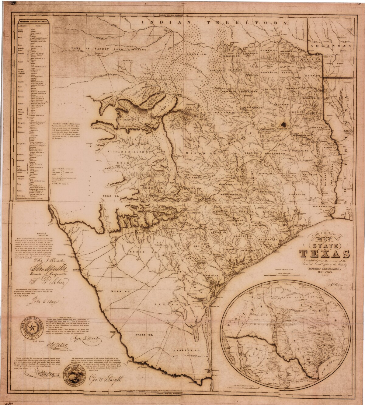
J. De Cordova's State of Texas
This geographical map of Texas was compiled from the records of the General Land Office of the State of Texas. Affirmations from a General Land Office officer assert that the "meander of the rivers are all correctly represented". A list of land districts, a note regarding boundaries of Fisher & Miller's Colony, and a legend for cities, large and small towns are also shown.
Report this entry
More from the same community-collection
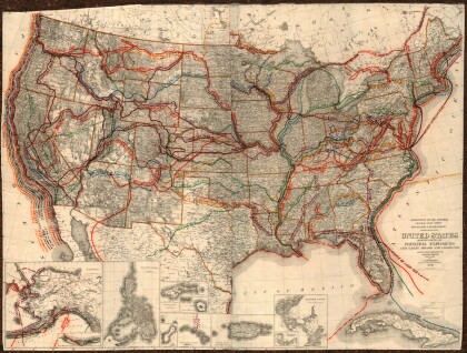
United States - Routes of Principal Explorers
This United States map colorfully illustrates routes taken by ...
Map of the Rio Grande El Paso-Juarez Valley circa 1930
This map illustrates the river path between El Paso, Texas and ...
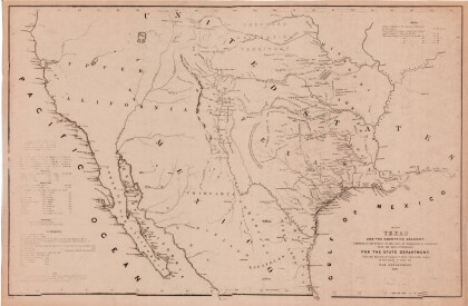
Map of Texas and the Countries Adjacent
This map of Texas and its adjacent countries was compiled for ...
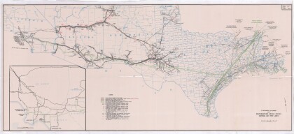
Map of Southwestern United States Natural Gas Pipe Lines
This map illustrates natural gas pipelines extending from ...
