Map of Texas and Part of New Mexico
Mapa de Texas y parte de Nuevo México
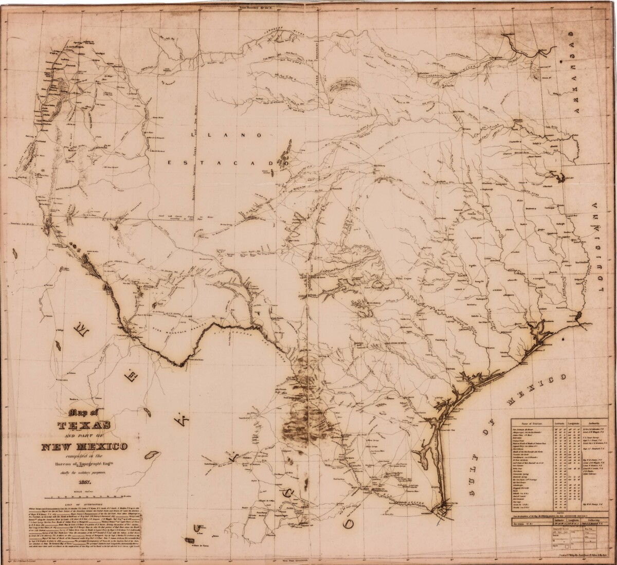
Map of Texas and Part of New Mexico
Map of Texas and part of New Mexico compiled chiefly for military purposes indicates roads and trails utilized by military personal and provides the names of the same. Station names and their latitudes and longitudes are noted. Cities, rivers and mountain ranges are illustrated.
Report this entry
More from the same community-collection
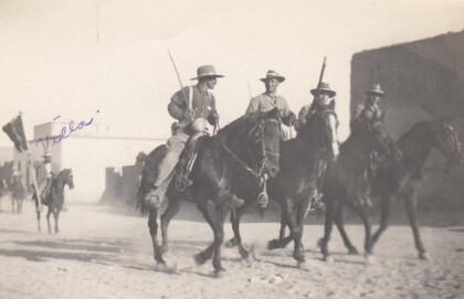
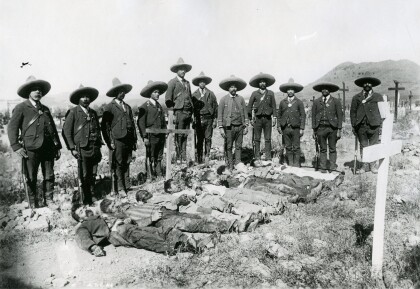
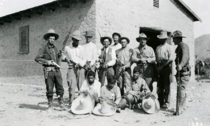
Soldiers During The Mexican Revolution
Notation on front of image: "Villa" Visible: Four men riding ...
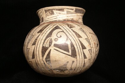
Casas Grande Pottery with the El Paso Museum of Archaeology Logo
Casas Grandes was a prehistoric trading center/religious center ...
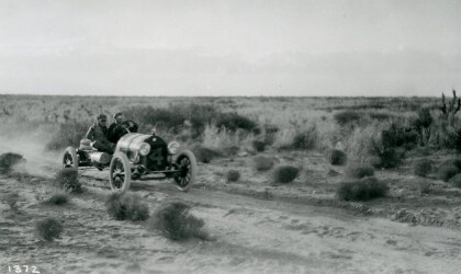
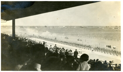
Johnny Hutchins in Car Race - El Paso, Texas
The picture shows driver Johnny Hutchins during the annual El ...
El Paso County Historical Society
Unidentified men on top of the train, and in front is an African ...
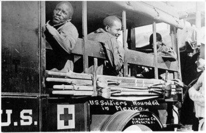
Wounded Soldiers - Buffalo Soldiers - 1916
In June, Pershing received intelligence that Villa was at ...
