Topography: the University of Texas Mineral Survey
Topografía: la Universidad de Texas estudio de minerales
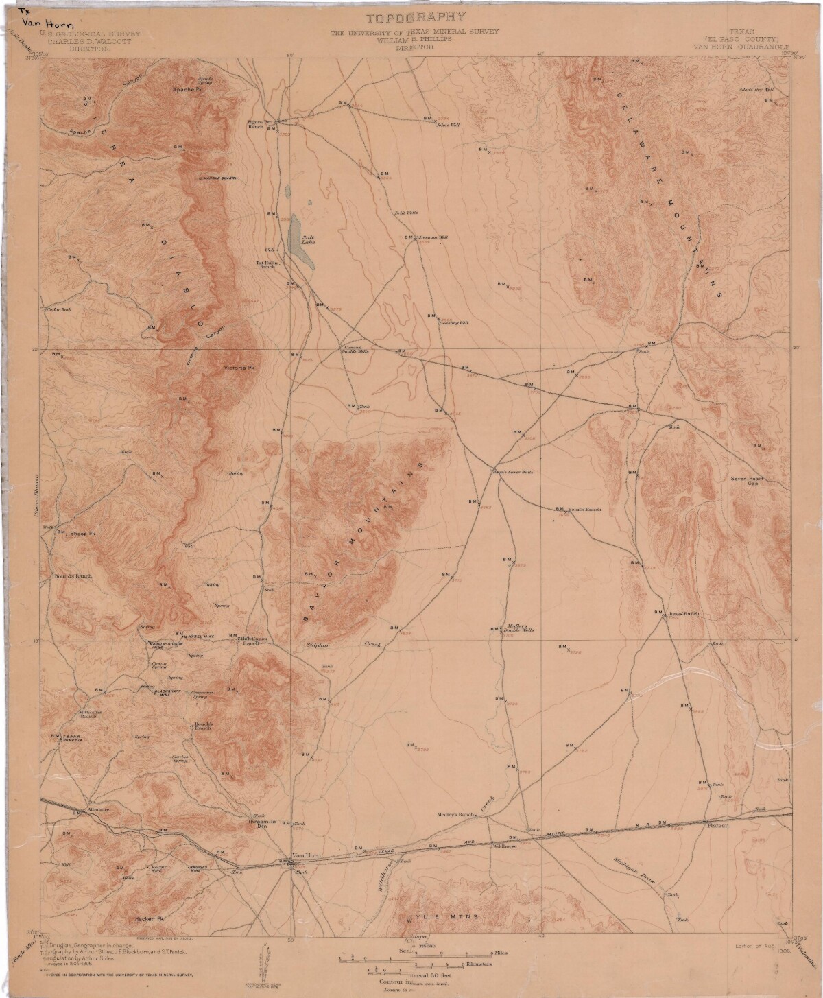
Topography: the University of Texas Mineral Survey
Topographic map of the Van Horn quadrangle in Texas. Indicates the location of Salt Lake, canyons, ranches, mountain ranges, railroad lines and wells.
Report this entry
More from the same community-collection
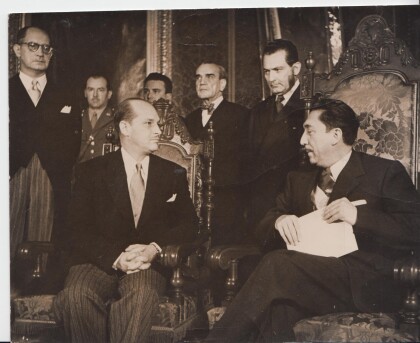
1954 Ramiro Gereda Asturias, presenting credentials
Ramiro Gereda Asturias, presenting credentials as Ambassador of ...
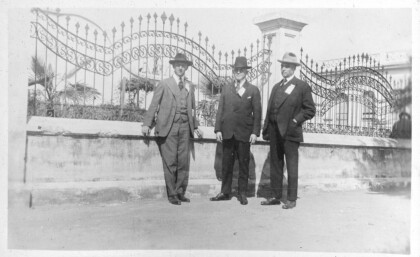
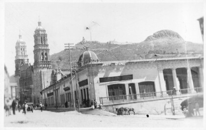
Photograph from the 1920 Peace and Progress Excursion
Peace and Progress Excursion to Mexico City, photo album ...
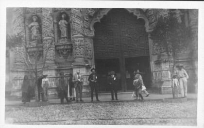
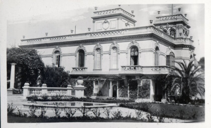
Photograph from the 1920 Peace and Progress Excursion
Peace and Progress Excursion to Mexico City, photo album ...
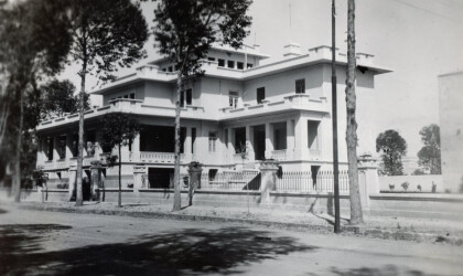
Photograph from the 1920 Peace and Progress Excursion
Peace and Progress Excursion to Mexico City, photo album ...
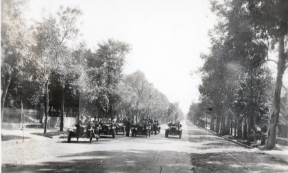
Photograph from the 1920 Peace and Progress Excursion
Peace and Progress Excursion to Mexico City, photo album ...
Photograph from the 1920 Peace and Progress Excursion
Peace and Progress Excursion to Mexico City, photo album ...
Photograph from the 1920 Peace and Progress Excursion
Peace and Progress Excursion to Mexico City, photo album ...
Photograph from the 1920 Peace and Progress Excursion
Peace and Progress Excursion to Mexico City, photo album ...
Photograph from the 1920 Peace and Progress Excursion
Peace and Progress Excursion to Mexico City, photo album ...
Photograph from the 1920 Peace and Progress Excursion
Peace and Progress Excursion to Mexico City, photo album ...
