Map of Fort Hancock, Texas circa 1915
Texas la Fortaleza Hancock
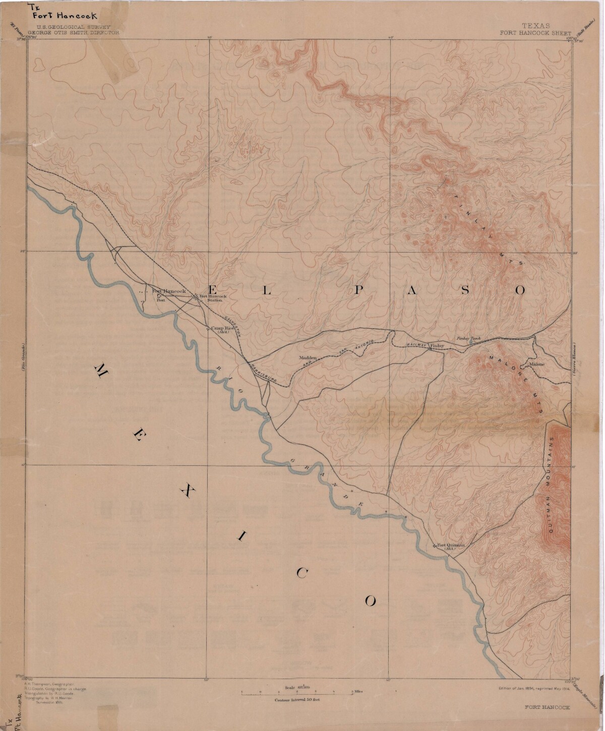
Map of Fort Hancock, Texas circa 1915
Topographical map indicating the location of Fort Hancock and Fort Hancock station; Camp Rice, Madden, Finlay Tank.
Report this entry
More from the same community-collection
Geological Map of a Portion of West Texas
A geological map of a portion of West Texas based on U.S.G.S. ...
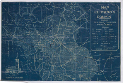
Map of El Paso's Domain circa 1905
Railroad facilities; mining areas of copper, gold, mercury, ...
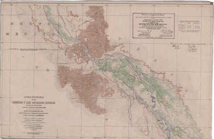
Dividing Line between Mexico and the United States
Map of the dividing line between Mexico and the United States ...
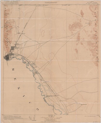
El Paso Quadrangle, Texas (El Paso County)
Topography of El Paso County, Texas and the El Paso Quadrangle. ...
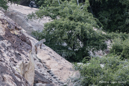
Bobcat "Horchata" at Hueco Tanks
As we wrap up our back country scouting around 5 pm, we spotted ...
El Paso (P-4) Sectional Aeronautical Chart
Published in April, 1941, this aeronautical map indicates the ...
Map of New Spain under the Viceroys
This map illustrates 1600's New Spain. Areas from New Mexico, ...
