Topography, Texas El Paso County, Cerro Alto Quadrangle
Topografía de Texas, el condado de El Paso, cuadrángulo Cerro Alto
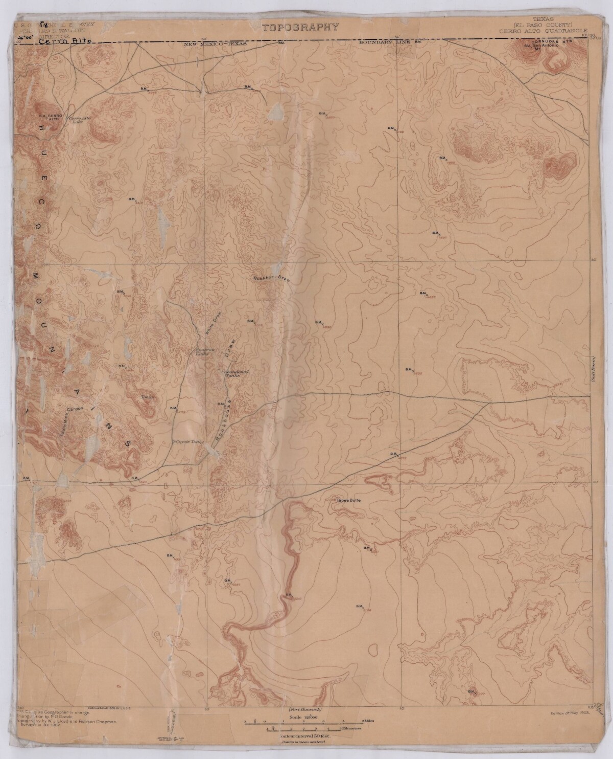
Topography, Texas El Paso County, Cerro Alto Quadrangle
Topographic map of El Paso County Cerro Alto Quadrangle. The map includes the New Mexico-Texas Boundary line, Hueco Mountains, Cornudas Mountains; Padre Mine Canyon, Sparrow Tanks, Abandoned Tanks; Cerro Alto Lake, Buckhorn Draw and Tepee Butte.
Report this entry
More from the same community-collection
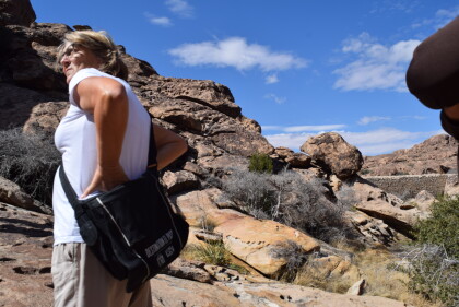
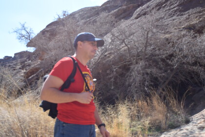
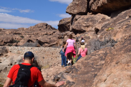
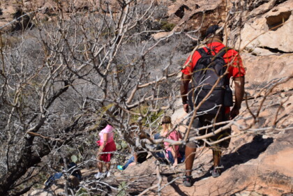
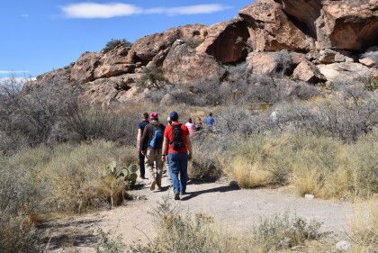
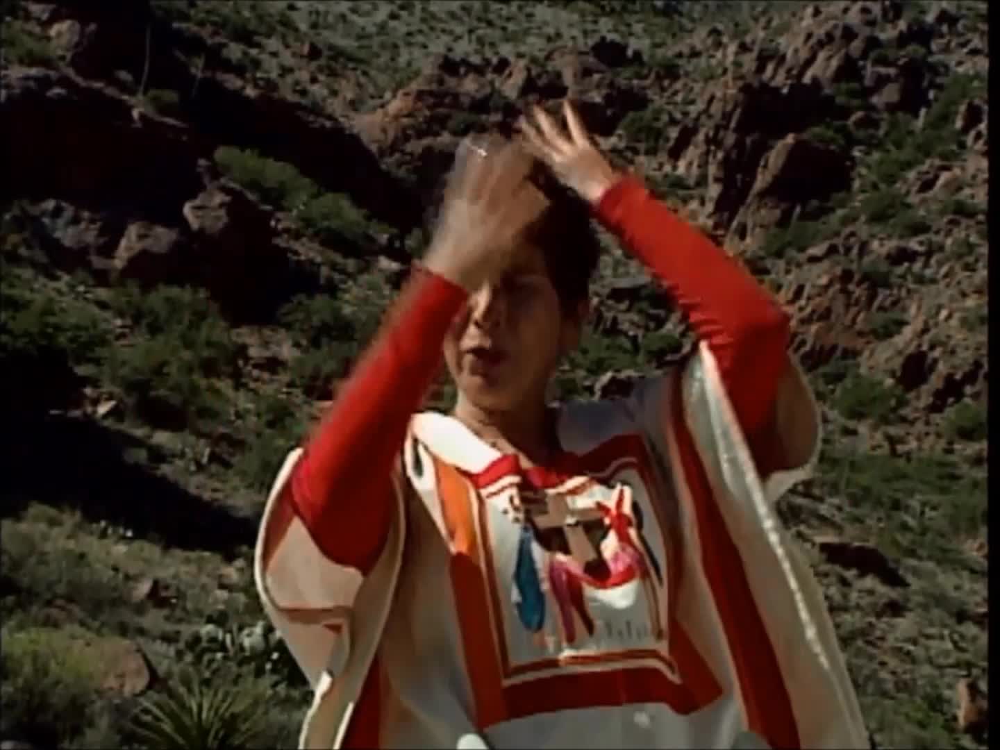
Tour Guide at Hueco Tanks State Park
Tour Guide at Hueco Tanks State Park. Photo taken on February ...
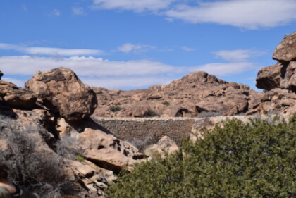
Man Made Dam at Hueco Tanks State Park
Man made dam at Hueco Tanks State Park. Photo taken on February ...
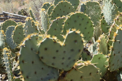
Heart-Shaped Cactus at Hueco Tanks State Park
Cactus at Hueco Tanks State Park. A portion of this particular ...
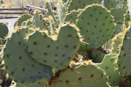
Heart-Shaped Cactus at Hueco Tanks State Park
Cactus at Hueco Tanks State Park. A portion of this particular ...
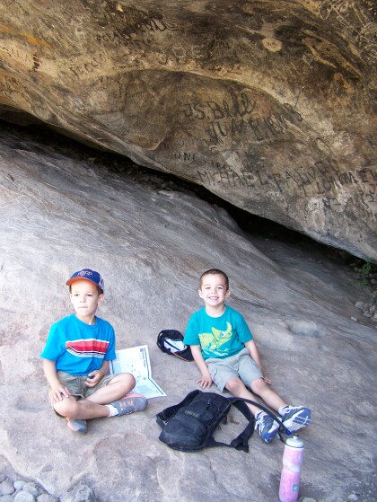
The Ribas Boys take over Hueco Tanks
Felipe and Lluc Ribas at Hueco Tanks site 17 during the 2013 ...
Almost full moon rising over East Mountain @ Hueco Tanks
Sun setting, moon rising, East Mountain, Hueco Tanks
