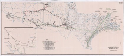
Dallas: Industrial and Distribution Center of the Southwest
Dallas: Centro industrial y de distribución del suroeste
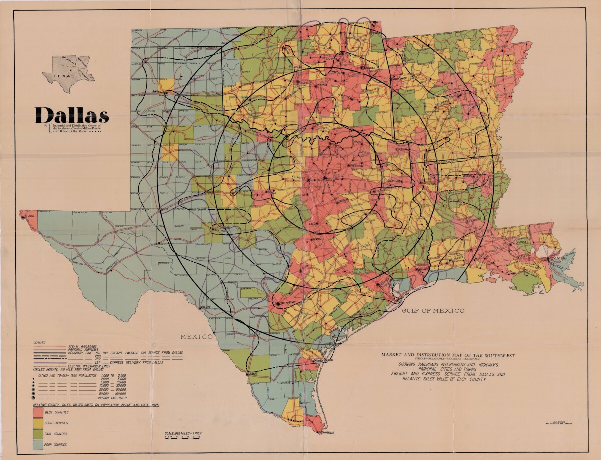
Dallas: Industrial and Distribution Center of the Southwest
Colorful market and distribution map of the Southwest - Texas, Oklahoma, Arkansas and Louisiana. This map shows railroads, interurbans and highways; principal cities and towns; freight and express service from Dallas and relative sales value of each county. The legend notes population statistics and county sales values based on population, income and area. The scale is 1 inch to 24.50 miles.
Report this entry
More from the same community-collection
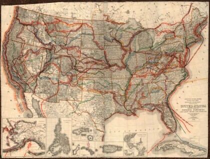
United States - Routes of Principal Explorers
This United States map colorfully illustrates routes taken by ...
Map of the Rio Grande El Paso-Juarez Valley circa 1930
This map illustrates the river path between El Paso, Texas and ...
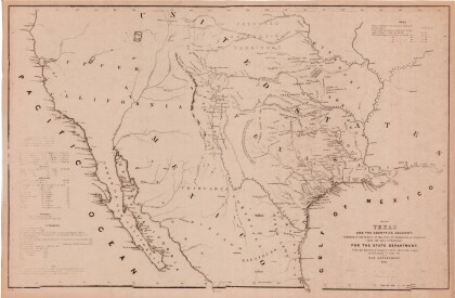
Map of Texas and the Countries Adjacent
This map of Texas and its adjacent countries was compiled for ...
Map of Southwestern United States Natural Gas Pipe Lines
This map illustrates natural gas pipelines extending from ...
