Dallas: Industrial and Distribution Center of the Southwest
Dallas: Centro industrial y de distribución del suroeste
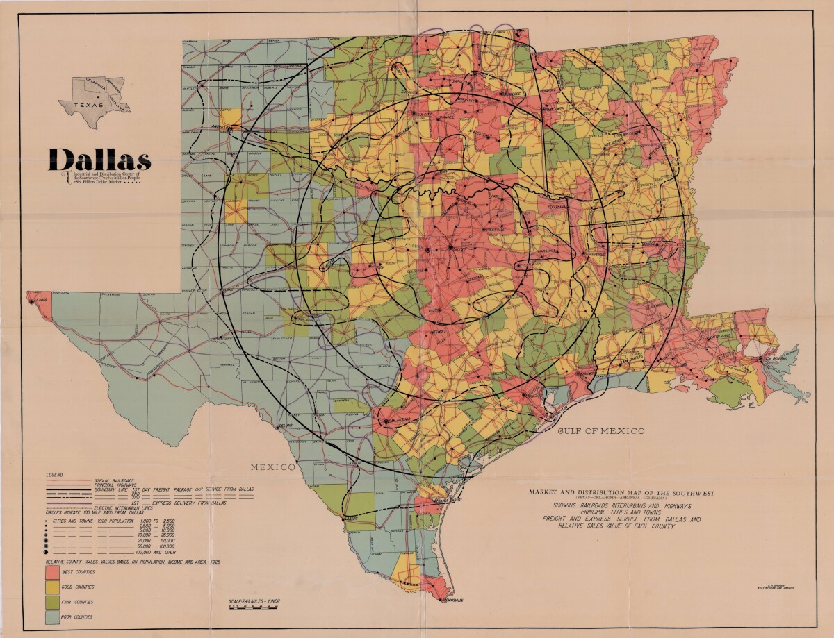
Dallas: Industrial and Distribution Center of the Southwest
Colorful market and distribution map of the Southwest - Texas, Oklahoma, Arkansas and Louisiana. This map shows railroads, interurbans and highways; principal cities and towns; freight and express service from Dallas and relative sales value of each county. The legend notes population statistics and county sales values based on population, income and area. The scale is 1 inch to 24.50 miles.
Report this entry
More from the same community-collection
Geological Map of a Portion of West Texas
A geological map of a portion of West Texas based on U.S.G.S. ...
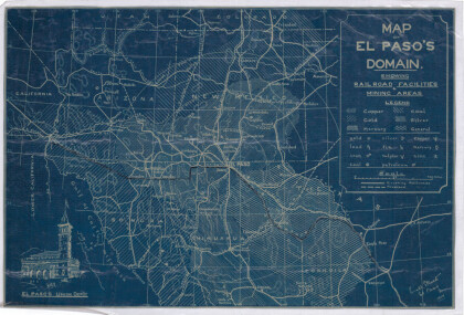
Map of El Paso's Domain circa 1905
Railroad facilities; mining areas of copper, gold, mercury, ...
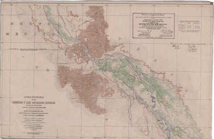
Dividing Line between Mexico and the United States
Map of the dividing line between Mexico and the United States ...
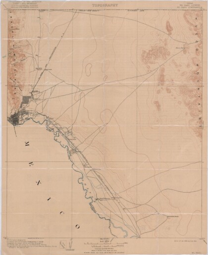
El Paso Quadrangle, Texas (El Paso County)
Topography of El Paso County, Texas and the El Paso Quadrangle. ...
Bobcat "Horchata" at Hueco Tanks
As we wrap up our back country scouting around 5 pm, we spotted ...
El Paso (P-4) Sectional Aeronautical Chart
Published in April, 1941, this aeronautical map indicates the ...
Map of New Spain under the Viceroys
This map illustrates 1600's New Spain. Areas from New Mexico, ...
