Military Map of the Rio Grande Frontier
Mapa militar de la frontera del Río Grande
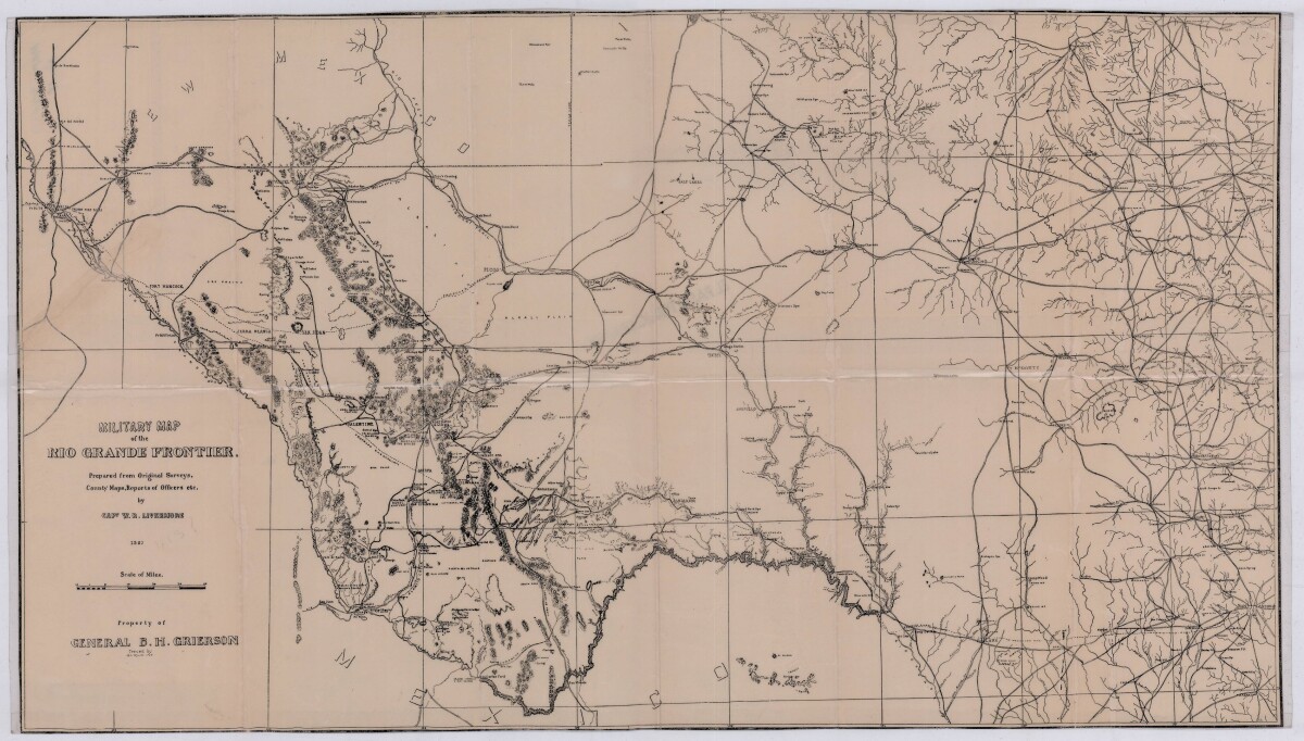
Military Map of the Rio Grande Frontier
Military map of the Rio Grande frontier prepared from original surveys, county maps and reports from officers. Illustrates topographical features, rivers, mountains; the Salt road and trail; trails, creeks, lakes and proposed railway lines; fort locations cities and towns.
Report this entry
More from the same community-collection
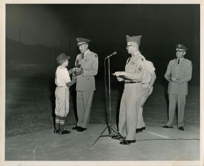
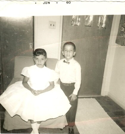
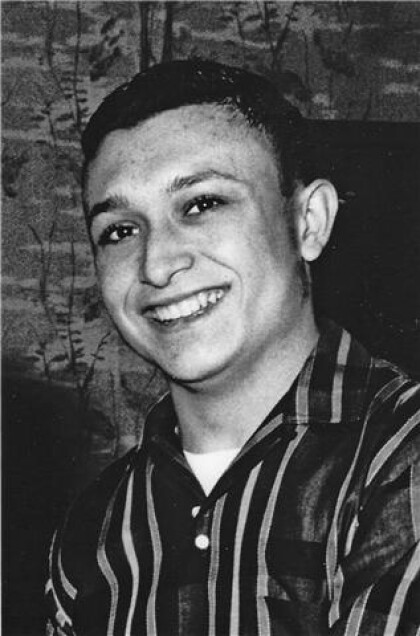
Joe Gomez Most Valuable Player 1960 Little League
Photo receiving Most Valuable Player trophy 1960 Fort Bliss ...
Lauren Gomez Barlow water polo/Joe Gomez's granddaughter
Joe Gomez's granddaughter, Lauren Barlow, water polo at Hanford ...
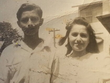
Pedro Gomez and Ernestina Gomez
Joe Gomez's aunt, Ernestina Gomez with Joe's father, Pedro Gomez ...
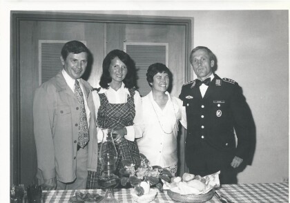
Members of the HOST FAMILY PROGRAM FT. BLISS
(L-R) DR. RICHARD TIMMER, MRS. KLAUSE (HERTA) KURTH, MRS. R. ...
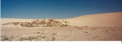
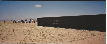
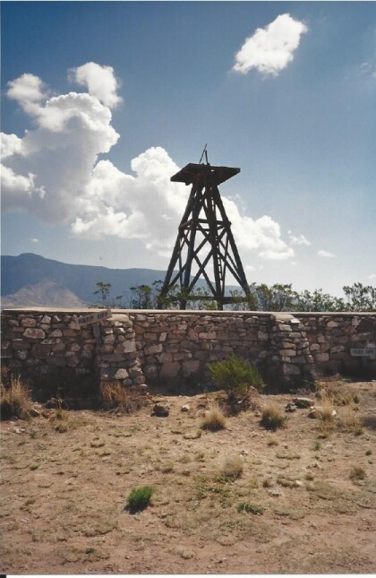
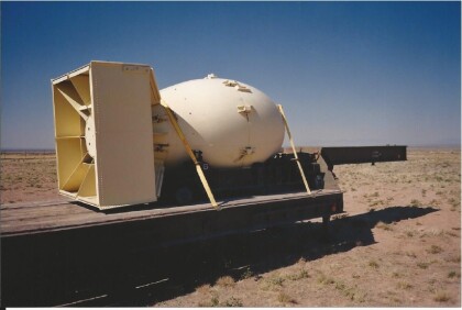
TRINTY SITE -WHITE SANDS, NEW MEXICO
TRINTY SITE- THIS IS THE SITE WHERE THE 1ST ATOM BOMB WAS TESTED ...
TRINTY SITE, WHITE SANDS, NEW MEXICO
ONCE A YEAR, TRINTY SITE IS OPEN TO THE PUBLIC. IT IS ON US GOV. ...
TRINTY SITE,WHITE SANDS NAT. MONUMENT
THIS IS A US MILITARY SITE, GUARDED & RESTRICTED. IT IS OPEN TO ...
Library Honors Sgt. Apuan at Pebble Beach
El Paso Public Library Information Senior Specialist Chuck Apuan ...
