Military Map of the Rio Grande Frontier
Mapa militar de la frontera del Río Grande
Military Map of the Rio Grande Frontier
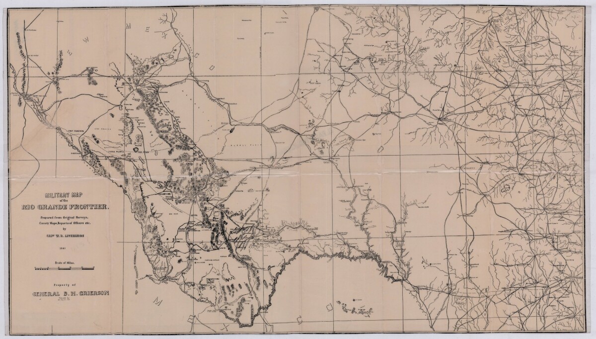
Military map of the Rio Grande frontier prepared from original surveys, county maps and reports from officers. Illustrates topographical features, rivers, mountains; the Salt road and trail; trails, creeks, lakes and proposed railway lines; fort locations cities and towns.
Report this entry
More from the same community-collection
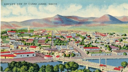
Juarez bird's-eye view postcard
This postcard from the 1940s is a scene of Juarez, Mexico. The ...
Katherine A. Mullings - University of Texas
Katherine A. Mullings - University of Texas - Graduation - May ...
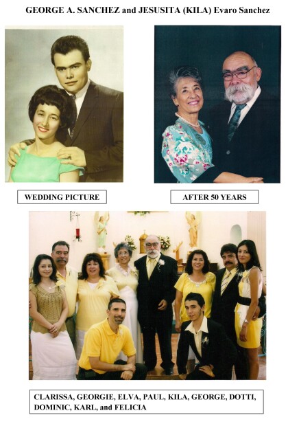
George A Sanchez and Jesusita (kila) Evaro Sanchez
Wedding photograph and 50th anniversary photograph of George A. ...
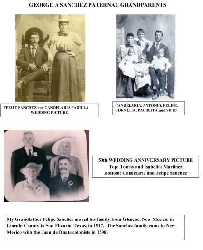
George A. Sanchez Paternal Grandparents
George A. Sanchez grandfather, Felipe Sanchez, moved his family ...
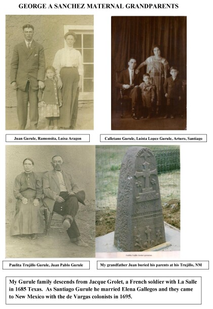
George A. Sanchez Maternal Grandparents
The Gurule family descends from Jacque Grolet, a french soldier ...
