Military Map of the Rio Grande Frontier
Mapa militar de la frontera del Río Grande
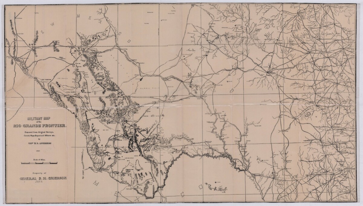
Military Map of the Rio Grande Frontier
Military map of the Rio Grande frontier prepared from original surveys, county maps and reports from officers. Illustrates topographical features, rivers, mountains; the Salt road and trail; trails, creeks, lakes and proposed railway lines; fort locations cities and towns.
Report this entry
More from the same community-collection
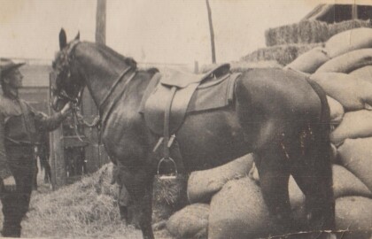
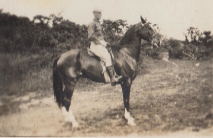
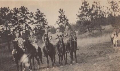
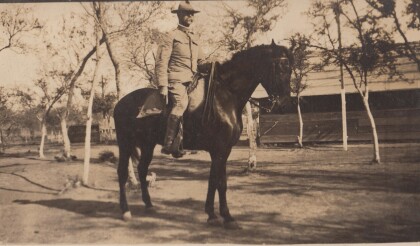
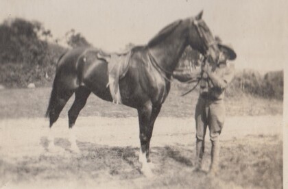
H. E. Featherstone on Horseback circa 1915
This is H.E. Featherstone, possibly on Sandy, the horse he rode ...
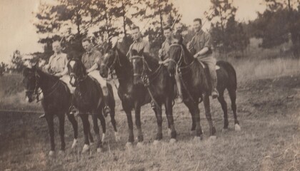
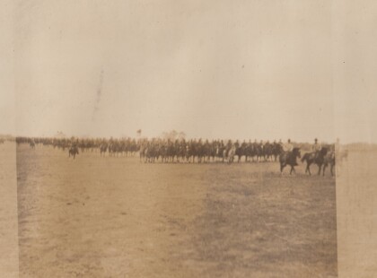
Sgt. Carr And His Platoon - 1910 - 1919
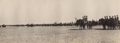
This is the Virginia Cavalry, at drill. The closest horses are ...
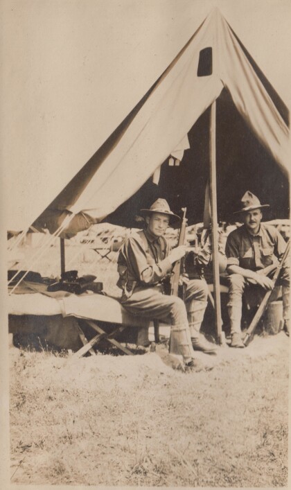
H.E. Featherstone at Gordonsville, Virginia
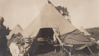
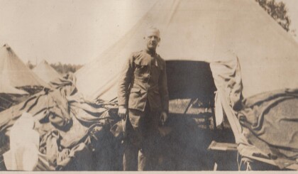
Featherstone in front of his tent at the camp in Gordonsville.
Blakeley, Bourne, Watkins, and Jones
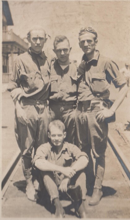
These soldiers are probably part of the Richmond Light Infantry, ...
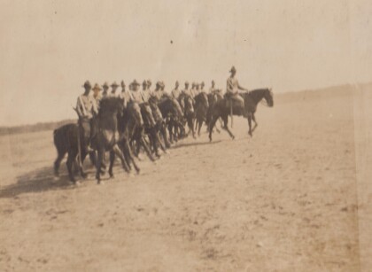
Captains Hewitt and Puller, Virginia Cavalry
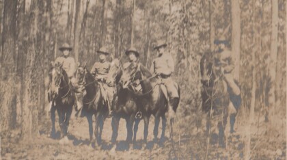
Two officers from the Virginia Cavalry serving on the border.
