Military Map of the Rio Grande Frontier
Mapa militar de la frontera del Río Grande
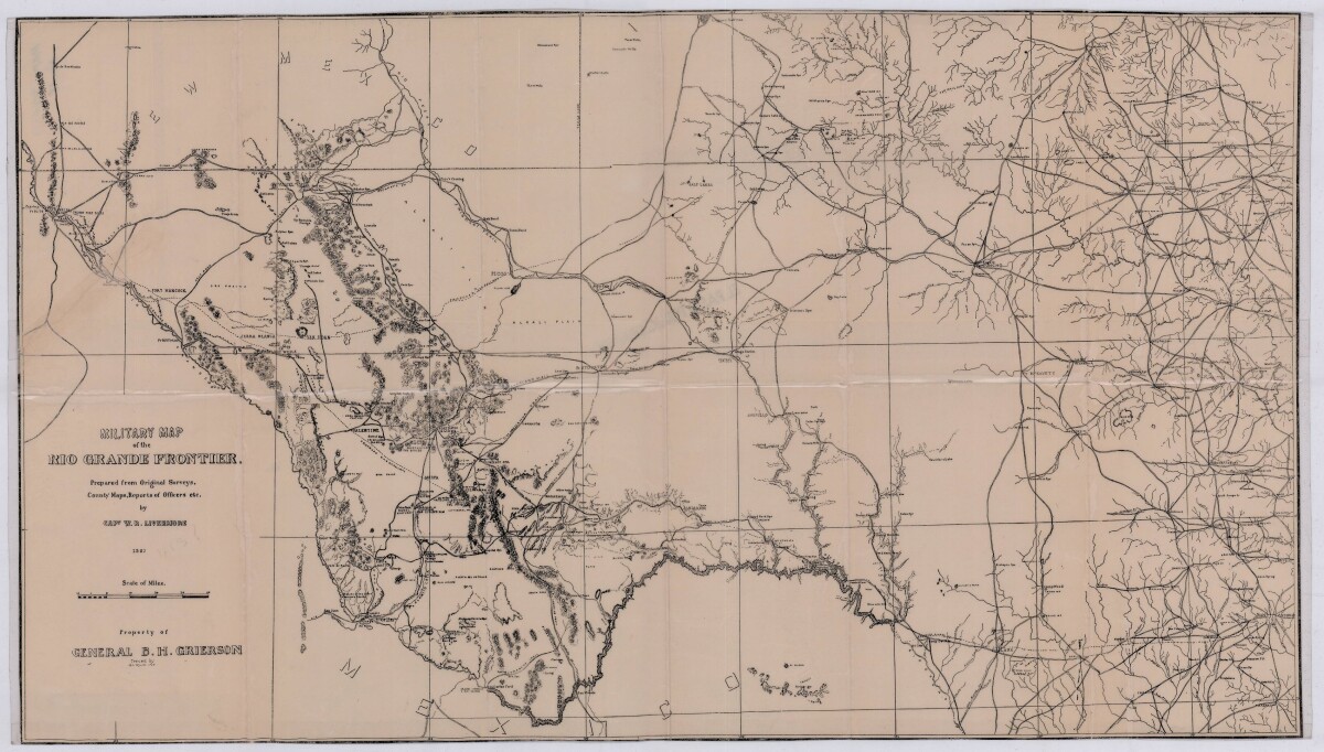
Military Map of the Rio Grande Frontier
Military map of the Rio Grande frontier prepared from original surveys, county maps and reports from officers. Illustrates topographical features, rivers, mountains; the Salt road and trail; trails, creeks, lakes and proposed railway lines; fort locations cities and towns.
Report this entry
More from the same community-collection
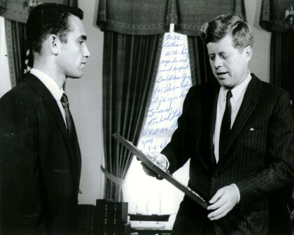
John F. Kennedy with Richard Lopez of El Paso, TX 1961
President John F. Kennedy meets with the Boys' Clubs of ...
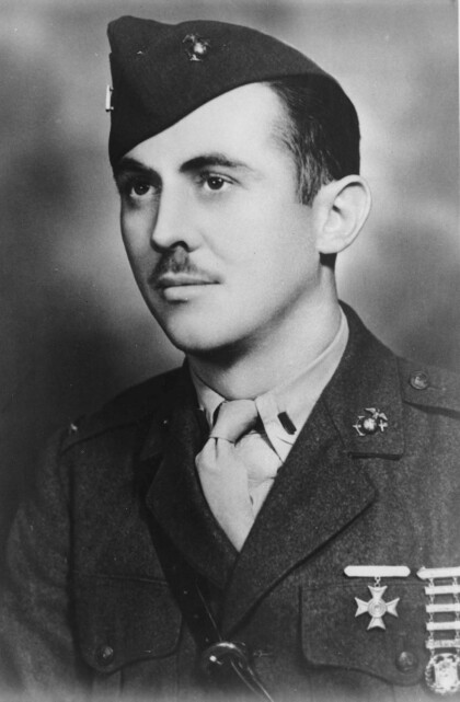
First Lieutenant William Deane Hawkins - El Paso, Texas
Deane Hawkins was a smart boy-at El Paso's Lamar and Alta Vista ...
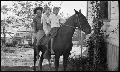
Fitzgerald Children on Horseback
Gertrude Fitzgerald took pictures of her own children as well as ...
Additional info in book by Richard K, Mc Master, Musket, Saber, and Missle: A History of Ft. Bliss, (El Paso) 1962