Map of Texas and Adjacent Regions in the Eighteenth Century
Mapa de Texas y regiones adyacentes en el siglo dieciocho
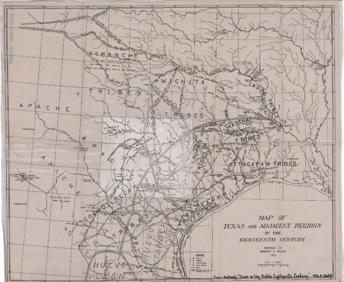
Map of Texas and Adjacent Regions in the Eighteenth Century
Map of Texas and the adjacent regions illustrating missions, presidios, Spanish towns, Indian villages, rivers, roads and boundary lines. Indian tribe names are shown in their areas of concentration.
Report this entry
More from the same community-collection
J. J. Armes, Chuck Norris, J. J. Armes III
J. J. Armes, Chuck Norris, J. J. Armes III in the year 1985. ...
Marlon Brando, Linda Armes, and J. J. Armes
J. J. Armes, Linda Armes, and Marlon Brando. I had met Marlon ...
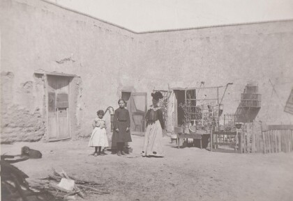
Outside of Adobe Home - Circa - 1900
Girls in front of adobe structure and water pump. Note the bird ...
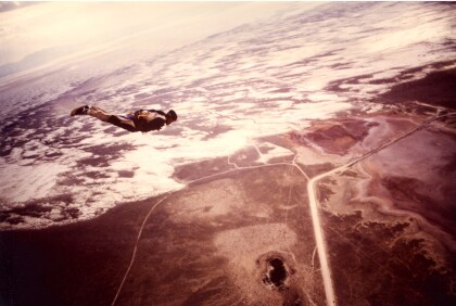
Skydiving promo for Nabisco over White Sands, NM
Allowed access to take off from Holloman AFB in Alamogordo, ...
End of skydive over White Sands, NM
Skydiver tracking away from formation after a jump by White ...
