Map of Texas and Adjacent Regions in the Eighteenth Century
Mapa de Texas y regiones adyacentes en el siglo dieciocho
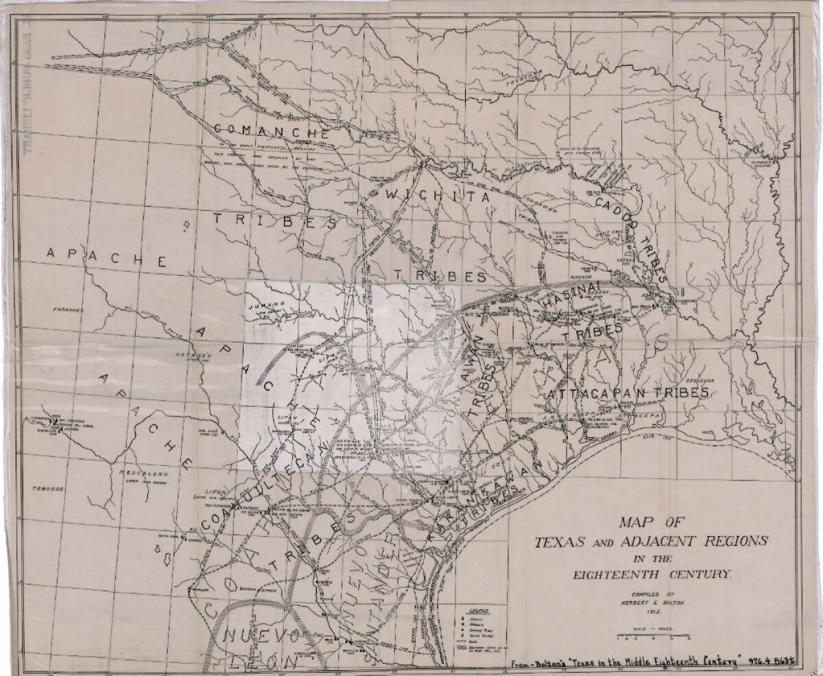
Map of Texas and Adjacent Regions in the Eighteenth Century
Map of Texas and the adjacent regions illustrating missions, presidios, Spanish towns, Indian villages, rivers, roads and boundary lines. Indian tribe names are shown in their areas of concentration.
Report this entry
More from the same community-collection
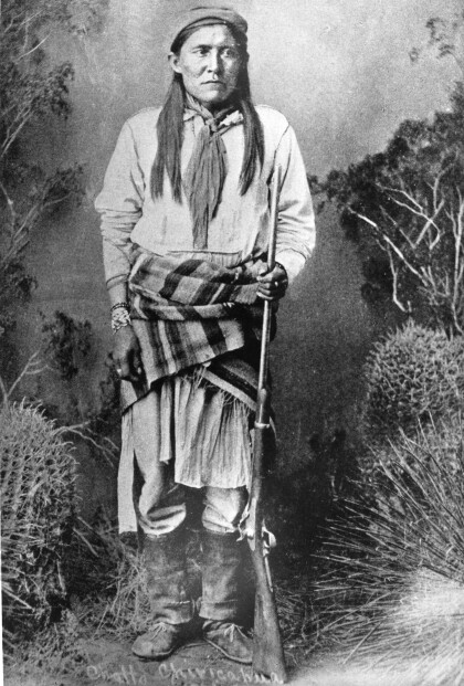
Chatto / Chato - Chiricahua Apache
Chato (1854-1934) was a Chiricahua Apache, born in 1854. He ...
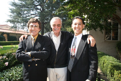
J. J. Armes, Stan Lee, and J. J. Armes III
You were approached by Stan Lee about creating a super hero of ...
J. J. Armes With President Bush and Vice President Cheney
J. J. Armes with President George W. Bush and Vice President ...
J. J. Armes, Investigating With A Magnifying Glass
J. J. Armes Investigating A Safe With A Magnifying Glass, ...
