Map of Texas and Adjacent Regions in the Eighteenth Century
Mapa de Texas y regiones adyacentes en el siglo dieciocho
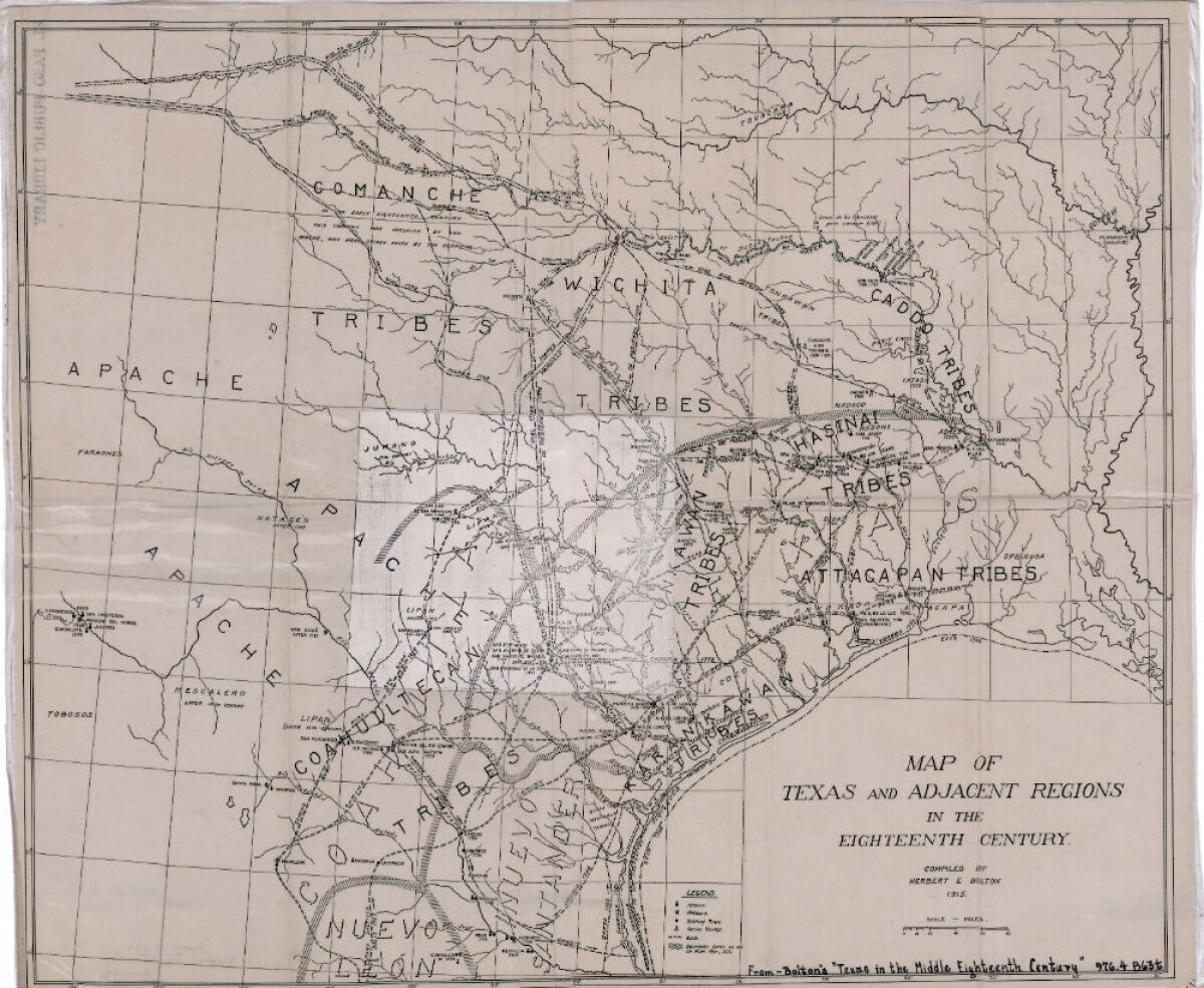
Map of Texas and Adjacent Regions in the Eighteenth Century
Map of Texas and the adjacent regions illustrating missions, presidios, Spanish towns, Indian villages, rivers, roads and boundary lines. Indian tribe names are shown in their areas of concentration.
Report this entry
More from the same community-collection
From Mexico to the United States
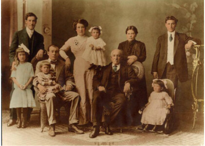
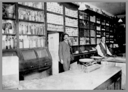
1915: Grandfather Trinidad Holguin is standing in middle of his ...
Gender Equity Specialists in TX circa 1992
Eva Ross with gender equity specialists in Austin TX circa 1992
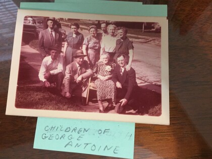
Children of George Antoine, taken in Clarksville, TX
Children of George Antoine, taken in Clarksville, TX
Bea ANTOINE, Bernadine Arnold Antone, Waco, TX, 1990
Bernadine Antone visited her husband's relative in Waco, TX, ...
Young couple @ Ardovino's Desert Crossing, Fall 2022
MJR and girlfriend after burial of Stephen J. Ross
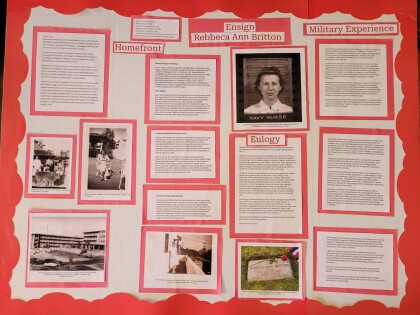
The Life of Silent Hero - Ensign Rebecca Ann Britton
A Texas student and her teacher have been selected to ...
