Map of Texas and Adjacent Regions in the Eighteenth Century
Mapa de Texas y regiones adyacentes en el siglo dieciocho
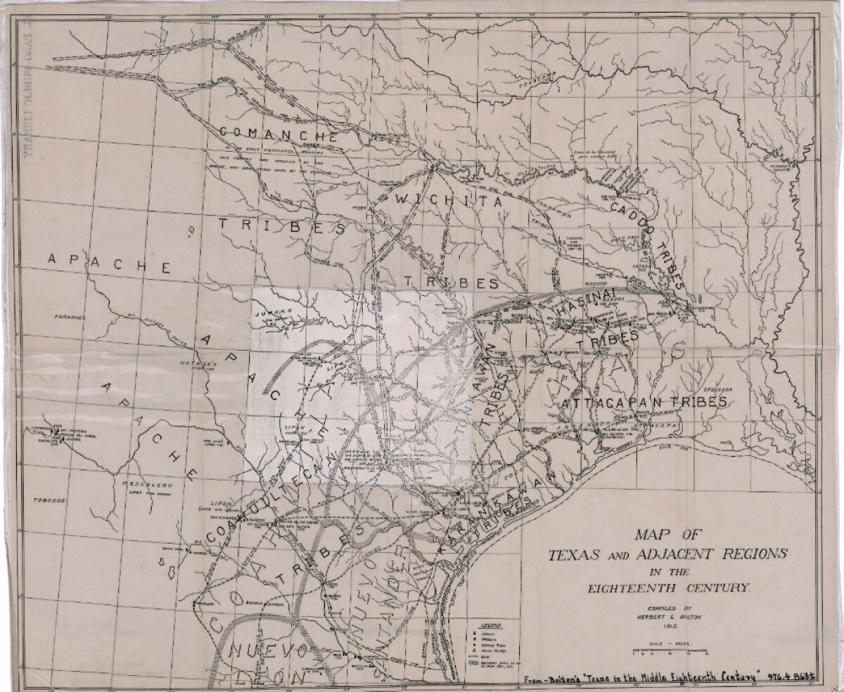
Map of Texas and Adjacent Regions in the Eighteenth Century
Map of Texas and the adjacent regions illustrating missions, presidios, Spanish towns, Indian villages, rivers, roads and boundary lines. Indian tribe names are shown in their areas of concentration.
Report this entry
More from the same community-collection
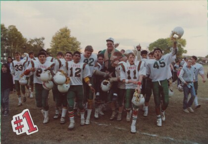
Coach Spilsbury and Football Team, 1990
Coach Spilsbury and Football Team, Juarez Stake Academy, Colonia ...
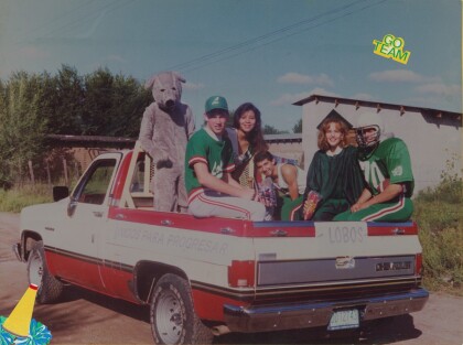
Student Council Float Colonia Juarez Mexico
Student Council Float Curtis Whetten Driving Joshua Hatch, ...
High School Graduation Juarez Stake Academy
High School Graduation Juarez Stake Academy Curtis Whetten and ...
Honors Night Juarez Stake Academy, Colonia Juarez
Curtis Whetten speaking in his capacity as Student Body ...
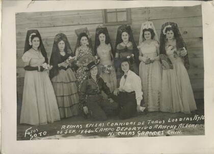
The First Bull Fight in Casas Grandes
Grand opening of the sports arena and bull fighters were brought ...
Gleaners in Tempe, AZ Freshman year of College
Older girls in the MIA for girls over 18 years old. Work to ...
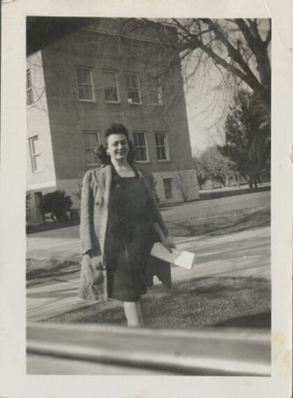
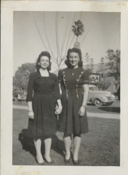
College Registration Day Arizona State University Tempe, AZ
Lucile Turley on the day Lucile and Vera registered for college ...
