Map of Texas and Adjacent Regions in the Eighteenth Century
Mapa de Texas y regiones adyacentes en el siglo dieciocho
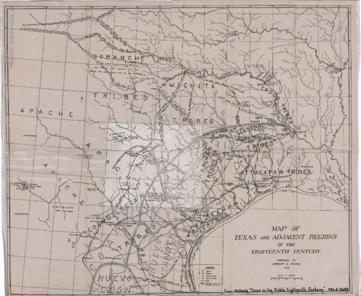
Map of Texas and Adjacent Regions in the Eighteenth Century
Map of Texas and the adjacent regions illustrating missions, presidios, Spanish towns, Indian villages, rivers, roads and boundary lines. Indian tribe names are shown in their areas of concentration.
Report this entry
More from the same community-collection
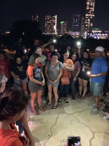
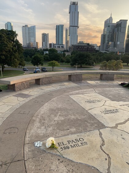
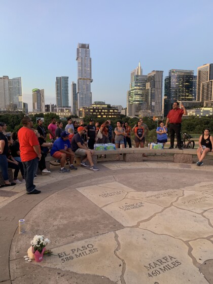
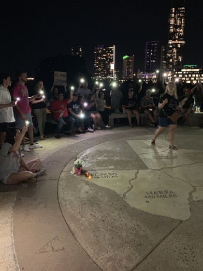
Remembering the victims of EP Shooting, from 580 miles away.
The names of the victims were called and a minute of silence ...
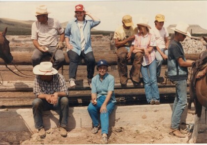
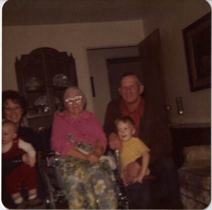
Four Generation Kirkham Family Picture
B-Carol Hatch, Nan Kirkham (Carol's Grandmother), Cleo Kirkham ...
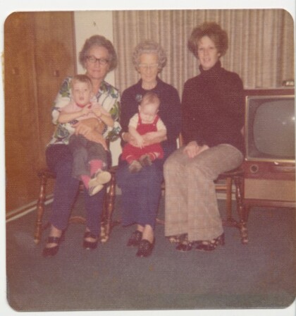
Grandma Grover Four Generation Photo
B-Blanche Grover Kirkham (Carol's Mom), Elnorah Grover, Carol ...
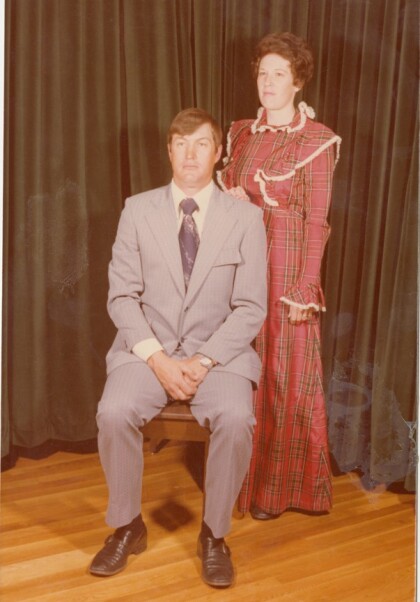
Travis Hatch Wedding Family Picture
B-Garrett, Gerald F-Berkley, Gregory, Randall, Quintin, Carol, ...
