Map of Texas and Adjacent Regions in the Eighteenth Century
Mapa de Texas y regiones adyacentes en el siglo dieciocho
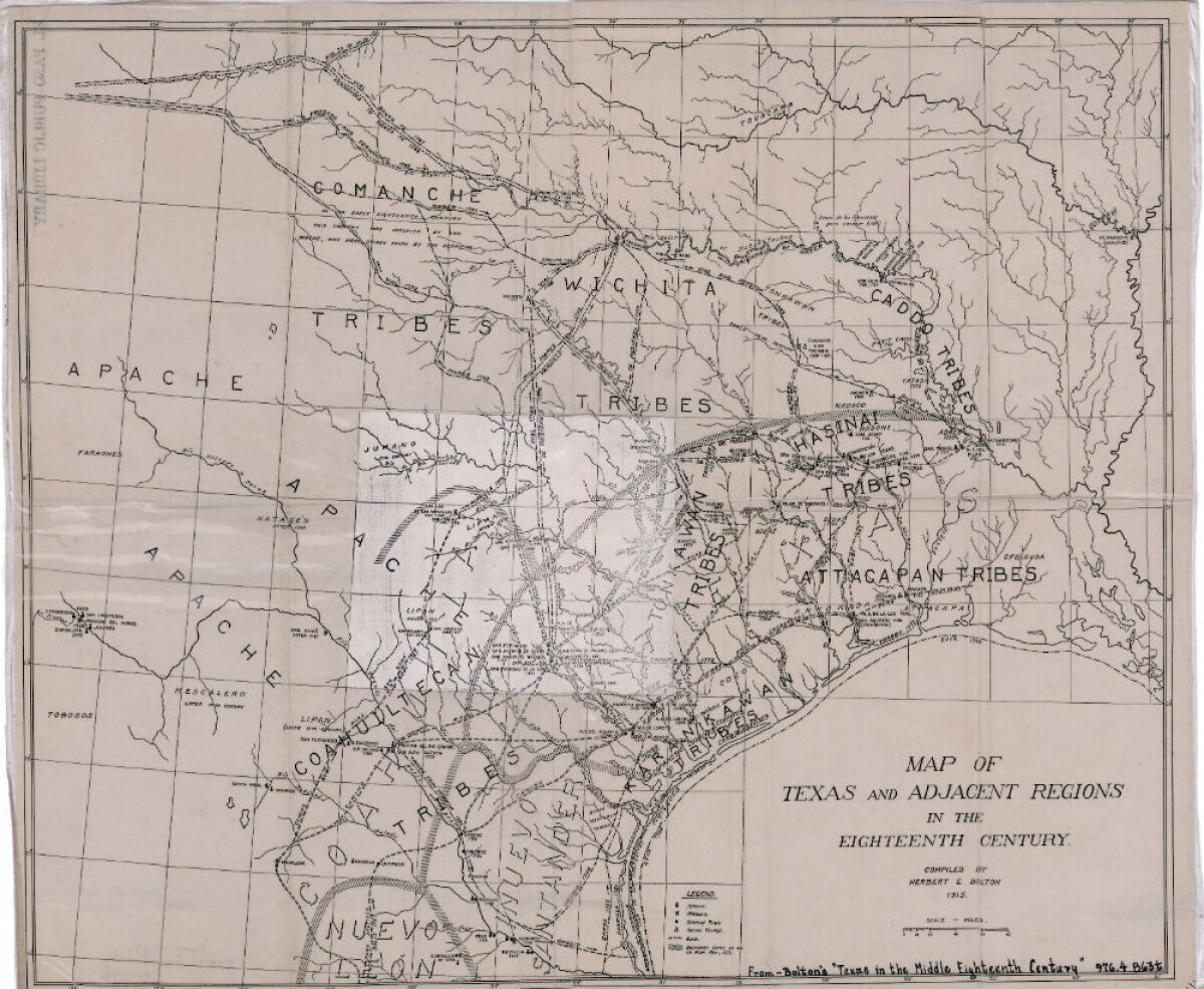
Map of Texas and Adjacent Regions in the Eighteenth Century
Map of Texas and the adjacent regions illustrating missions, presidios, Spanish towns, Indian villages, rivers, roads and boundary lines. Indian tribe names are shown in their areas of concentration.
Report this entry
More from the same community-collection
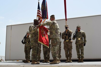
1-43 Cobra Strike Cases the Colors after 1-year Mission
The 1-43 ADA "Cobra Strike" Commander, LTC Henry (BJ) Bennett ...
Pope John Paul II, Father Rick Matty, Bishop Armando Ochoa
Bishop Armando Ochoa, Pope John Paul II, Father Rick Matty, ...
Harvard Graduation - Nick Mathis - 1980
Harvard Graduation Ceremony - School of Education - 1980 - she ...
Blanche Henderson Grundy - Graduation - 1950's
Blanche Henderson Grundy - Graduation - 1950's - New Mexico A& M ...
Sparkys - Green Chili Burgers - New Mexico - 2017
The green chili burger here is life changing. Top 3 of all time. ...
Sparkys BBQ and Espresso - Hatch, New Mexico
Inside of Sparkys BBQ and Espresso located at Hatch, New Mexico.
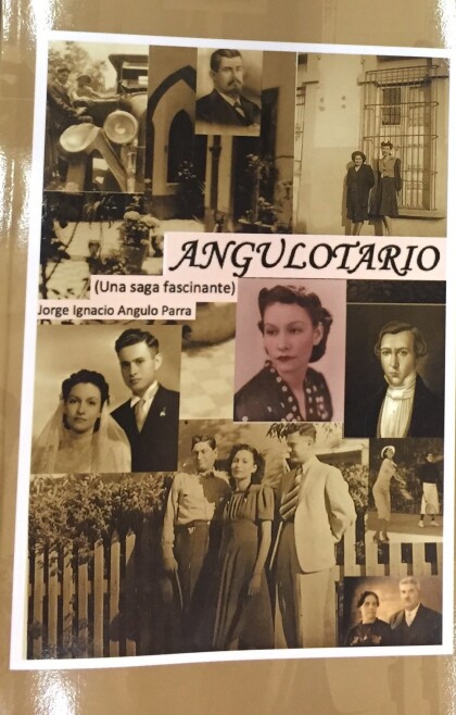
Family History written by Jorge Angulo Parra
Borderland family history written circa 2015 by engineer Jorge ...
Joe Gomez Little League Baseball Puerto Rico
Joe Gomez and brother, Ralph, sporting baseball uniforms ...
