Map of Texas and Adjacent Regions in the Eighteenth Century
Mapa de Texas y regiones adyacentes en el siglo dieciocho
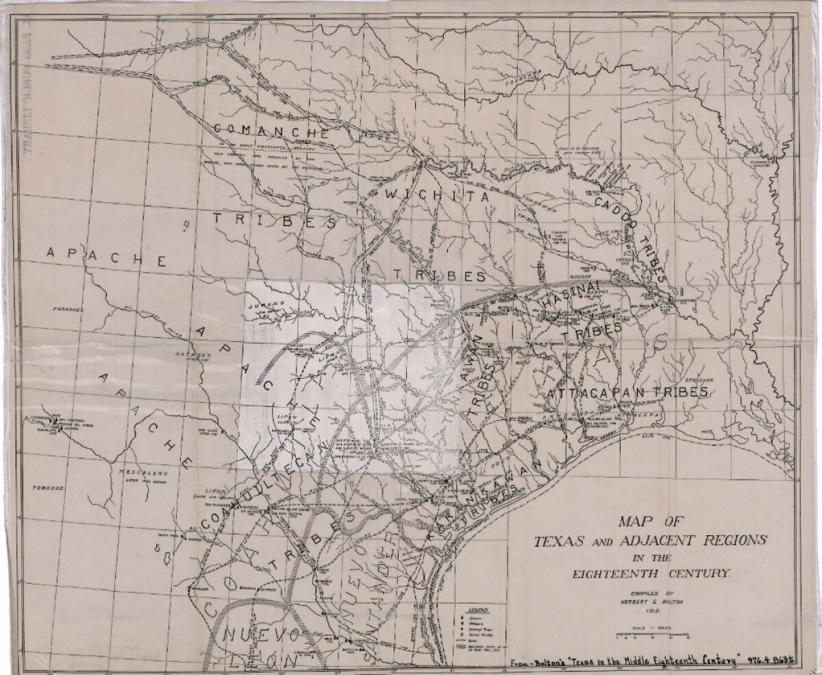
Map of Texas and Adjacent Regions in the Eighteenth Century
Map of Texas and the adjacent regions illustrating missions, presidios, Spanish towns, Indian villages, rivers, roads and boundary lines. Indian tribe names are shown in their areas of concentration.
Report this entry
More from the same community-collection
Alfredo Lozano - Company E, 1940 - 1949
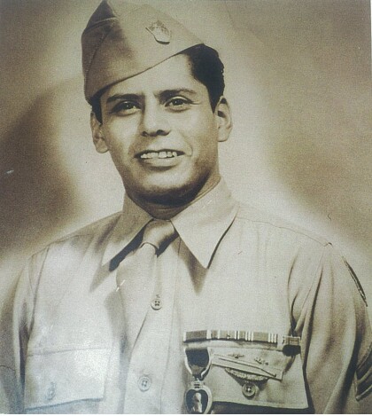
Photograph of Alfredo Lozano after receiving the purple heart. ...
Colonel Armando Ruiz - 1940 - 1949
Colonel Armando "Tommy" Ruiz, is a Graduate of Bowie high school ...
Emblem - 141st Regiment-2nd Battalion - Company E - 1941
Emblem - 141st Regiment-2nd Battalion - Company E - 36th ...
Lorenzo Macias - Company E - 1941
Lorenzo Macias member of Company E was killed in action December ...
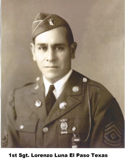
Lorenzo Luna - Company E - 1941
Lorenzo Luna was a member of Company E. Hispanics of the 141st ...
Rafael Torres - Company E - 1942
Rafael Torres - Company E - 1942 - member of the famous Company ...
Ramon G. Gutierrez - Company E - 1942
Ramon G. Gutierrez was a member of Company E during World War ...
Marcelino Valadez - Company E - 1942
Marcelino Valadez - Company E - 1942 - member of Company E. An ...
Ricardo Palacios Jr. - 1941 - Company E
Ricardo Palacios Jr. at Camp Bowie - Brownwood, Texas. Ricardo ...

