Map of Texas and Adjacent Regions in the Eighteenth Century
Mapa de Texas y regiones adyacentes en el siglo dieciocho
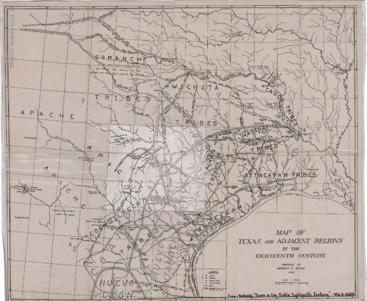
Map of Texas and Adjacent Regions in the Eighteenth Century
Map of Texas and the adjacent regions illustrating missions, presidios, Spanish towns, Indian villages, rivers, roads and boundary lines. Indian tribe names are shown in their areas of concentration.
Report this entry
More from the same community-collection
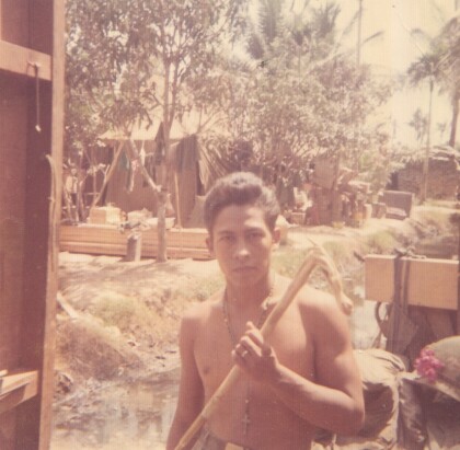
Fernando Villela - Vietnam - 1969
"Leisure time back in camp, displaying my "short" walking cane ...
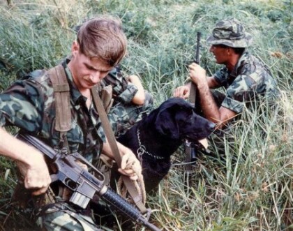
Secret War Dogs In Vietnam - 1960 - 1969
Photograph - was presented by Chuck Steward who was a member of ...
Cpl. Victor A. Flores - Vietnam - 1969
"I graduated from Bel Air High School and was 19 years old, when ...
Robert Lewis Hall - Vietnam - 1966
SP4 Hall, Robert Lewis Robert (Bob-o) Lewis Hall was born and ...
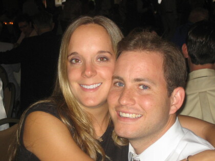
After Vietnam - Fernando Villela - 1973
"After Vietnam - Celebrating Life"! "Got out in December 1971 ...
Jose Antonio "Tony" Garcia - Vietnam - 1968
"My name is Jose Antonio "Tony" Garcia, and I am a native El ...
Sgt. Jesus R. Vasquez - Vietnam - 1965
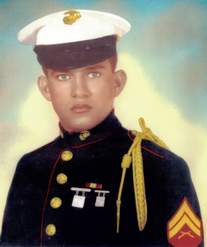
Jesus Roberto Vasquez went to San Juan Elementary School (now ...
Jesus Roberto Vasquez - Marine - 1965
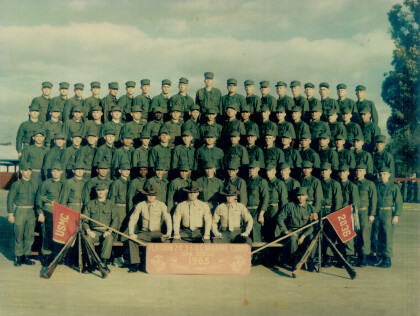
Jesus Roberto Vasquez's Platoon in training camp - Jesus Roberto ...
