Map of Texas and Adjacent Regions in the Eighteenth Century
Mapa de Texas y regiones adyacentes en el siglo dieciocho
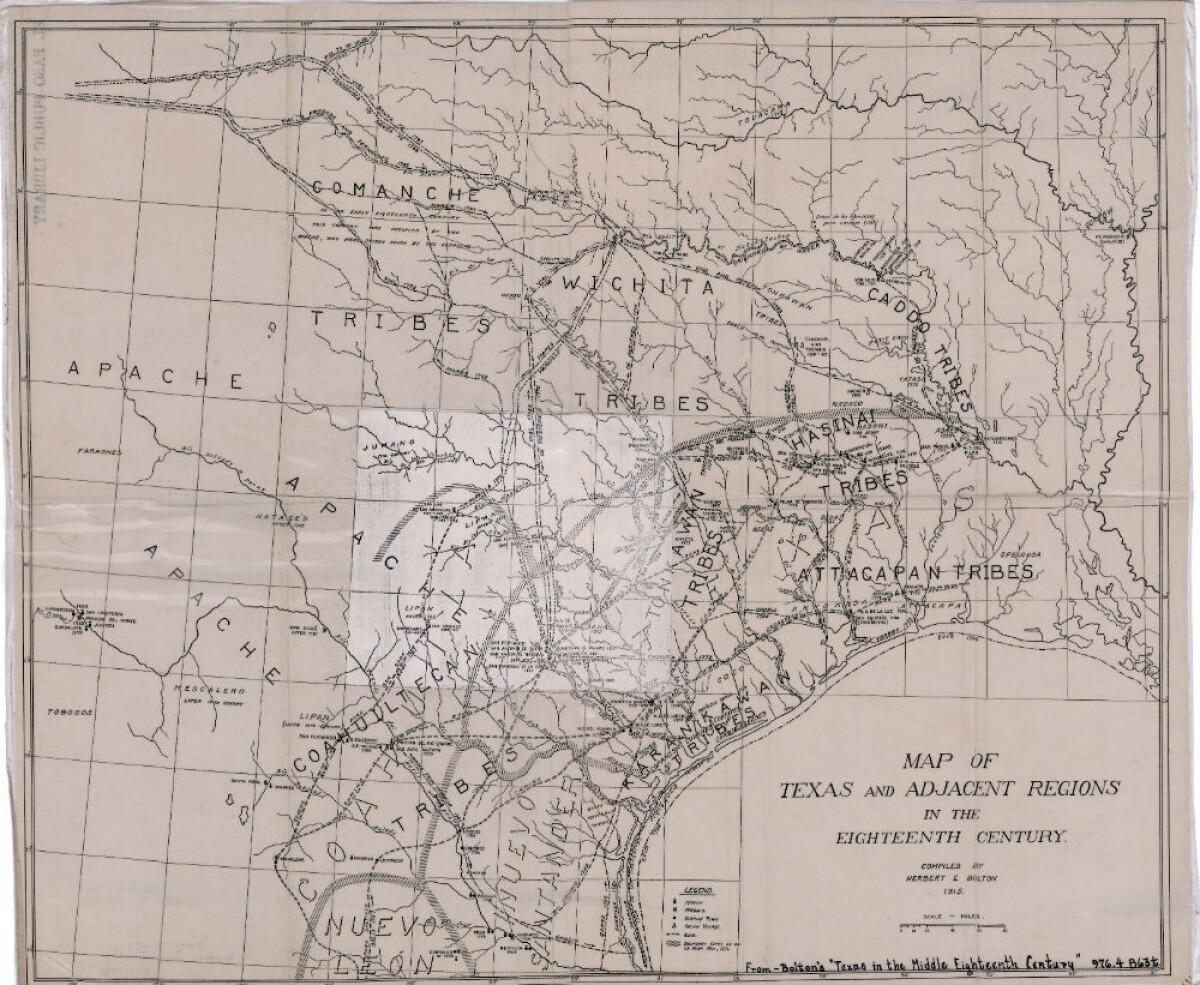
Map of Texas and Adjacent Regions in the Eighteenth Century
Map of Texas and the adjacent regions illustrating missions, presidios, Spanish towns, Indian villages, rivers, roads and boundary lines. Indian tribe names are shown in their areas of concentration.
Report this entry
More from the same community-collection
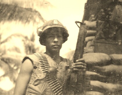
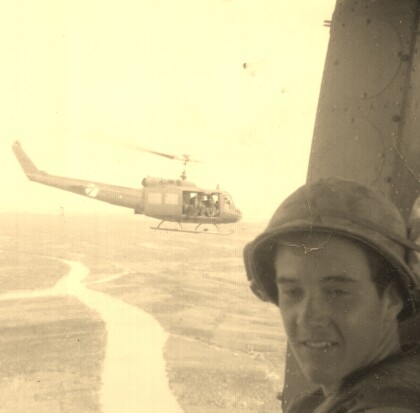
Fernando F. Villela - Vietnam - 1969
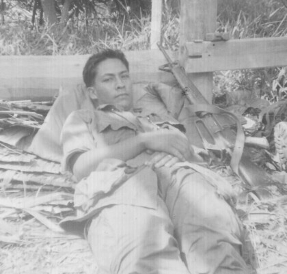
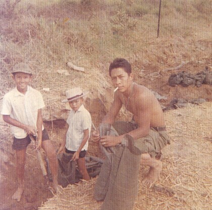
Fernando F. Villela laying down after a fire-fight from treeline ...
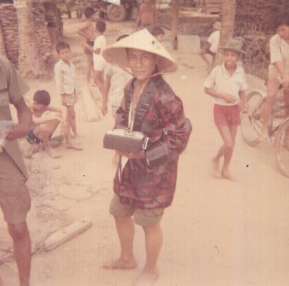
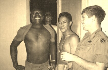
Fernando F. Villela - Vietnam - 1969
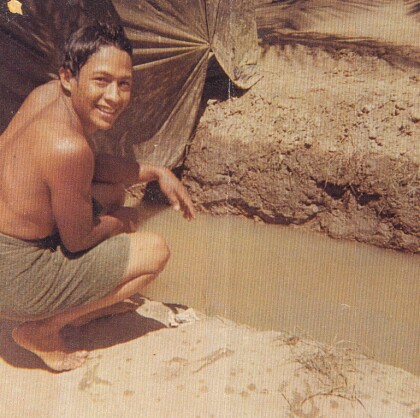
Fernando F. Villela - Vietnam - 1969 "Just showered at bunker ...
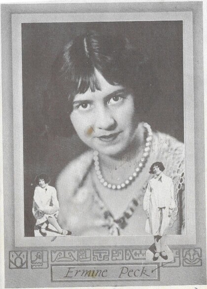
Ermine Peck McKay Hourigan - 1926
Mother of Thomas McKay - Founder - El Paso Boxing - Martial Arts ...
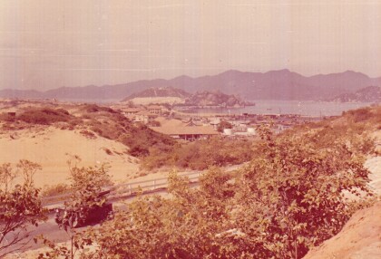
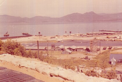
Camranh Bay in Vietnam - Fernando Villela - 1969
Photograph: Overview of Cam ranh Bay in Vietnam - 1969. On April ...
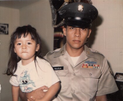
Fernando Villela Holding His Daughter - 1971
" Just before I got out of the Army". Fernando Villela holding ...
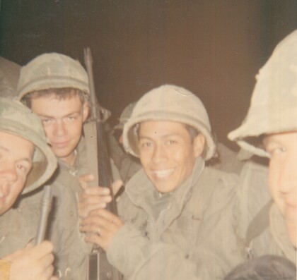
Vietnam - 1969 - Fernando Villela
"First Lieutenant in our company - real straight nice guy - in ...
