Map of Texas and Adjacent Regions in the Eighteenth Century
Mapa de Texas y regiones adyacentes en el siglo dieciocho
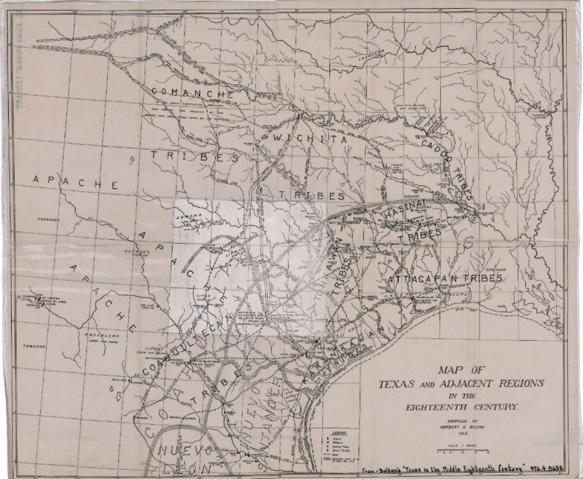
Map of Texas and Adjacent Regions in the Eighteenth Century
Map of Texas and the adjacent regions illustrating missions, presidios, Spanish towns, Indian villages, rivers, roads and boundary lines. Indian tribe names are shown in their areas of concentration.
Report this entry
More from the same community-collection
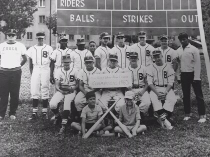
Babe Ruth Baseball Main Valley Champions 1963
Joe Gomez with the Main Valley Babe Ruth Champions 1963 Bamberg, ...
Dr. Sue Schook Elementary School - El Paso Texas
On Monday, Jan. 22, 2007 the Socorro Independent School broke ...
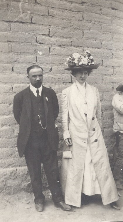
Francisco Madero and Annie (Meyer) Kleyhauer on May 11, 1911
My grandparents, Alfred D. and Annie Kleyhauer, and other ...
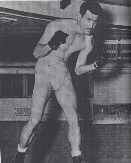
Pete Melendez Local El Paso Boxer 1933-2009
" Award winning sports journalist Ray Sanchez wrote in his ...
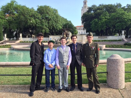
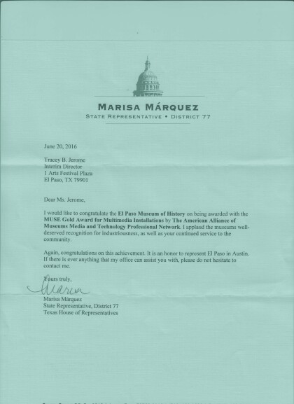
MUSE Gold Award for Multimedia Installations - 2016
The MUSE Gold Award for Multimedia Installations given to the El ...
Welcoming Soldiers On The Plane - 1970
Patti Olivas was a stewardess during the Vietnam Wartime and ...
Overseas National Airways - 1970
These are all stewardess during the Vietnam War Era. Right to ...
Patti Olivas Demonstrating The Oxygen Mask - 1970
I was a stewardess for Overseas National Airways during the ...
Overseas National Airways - 1970
I flew for Overseas National Airways during the Vietnam War - ...
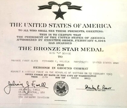
Bronze Star - Fernando Villela - 1969
For heroism in ground combat against a hostile force in the ...
