Map of Texas and Adjacent Regions in the Eighteenth Century
Mapa de Texas y regiones adyacentes en el siglo dieciocho
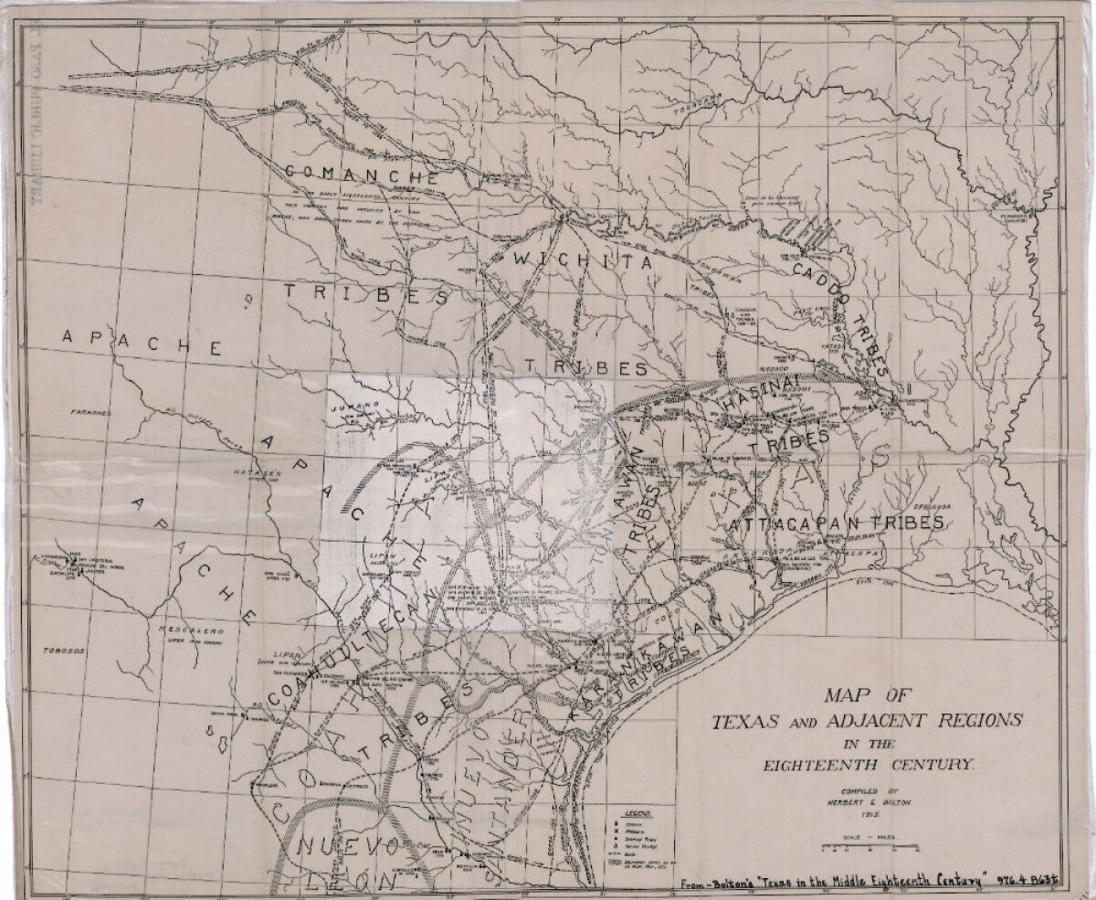
Map of Texas and Adjacent Regions in the Eighteenth Century
Map of Texas and the adjacent regions illustrating missions, presidios, Spanish towns, Indian villages, rivers, roads and boundary lines. Indian tribe names are shown in their areas of concentration.
Report this entry
More from the same community-collection
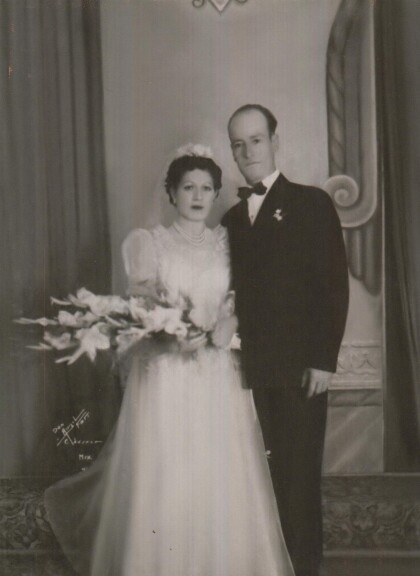
Wedding Photograph - Jesus & Angela Hermosillo - 1941
Wedding Photograph - Jesus & Angela Hermosillo - 1941 - City of ...
David T Howard High School Graduation Class 1963
David T Howard High School Graduation Class 1963 with Walt ...
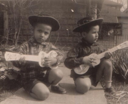
Brothers Playing Music Together - 1957
Brothers playing music together - the year was 1957. This was ...
Jose Gabriel Chinea and Crystal M. Chinea - 2014
Jose Gabriel Chinea and Crystal M. Chinea - 2014 - Ft Worth ...


