Map of Texas and Adjacent Regions in the Eighteenth Century
Mapa de Texas y regiones adyacentes en el siglo dieciocho
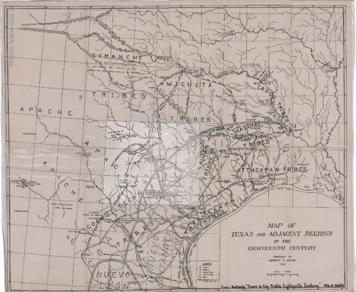
Map of Texas and Adjacent Regions in the Eighteenth Century
Map of Texas and the adjacent regions illustrating missions, presidios, Spanish towns, Indian villages, rivers, roads and boundary lines. Indian tribe names are shown in their areas of concentration.
Report this entry
More from the same community-collection
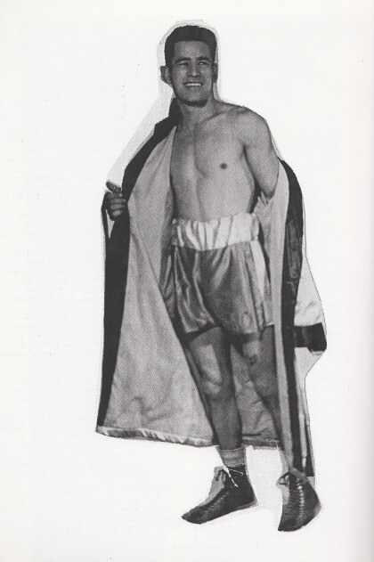
Manny Ortega - 1940 - 1949 - El Paso, Texas
Manny Ortega never got a title shot. What he did do to prove ...
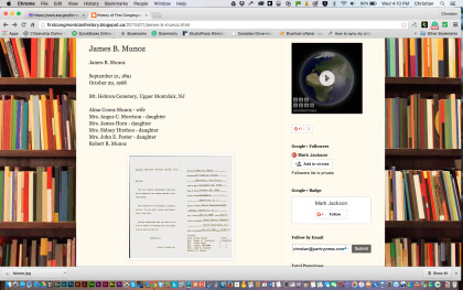
Funeral Arrangements for James R. Muñoz in New Jersey
When my grandfather died the arrangements were made for his ...
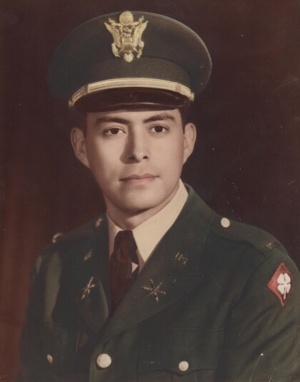
Leo Gallardo's Military Picture - 1960
Leo Gallardo - graduated from Texas Western College in 1959. ...
Antyn Vejil Force of Will World Championship Qualifier
Photograph - from left to right: Dan Musser (First place winner) ...
Force of Will AGP Dallas Semi Finals
Antyn Vejil (the player featured on the right side) facing off ...
