Map of Texas and Adjacent Regions in the Eighteenth Century
Mapa de Texas y regiones adyacentes en el siglo dieciocho
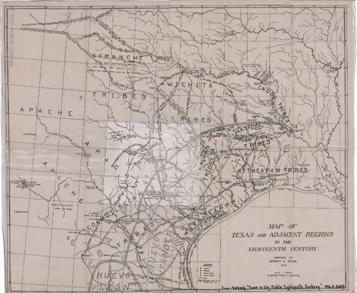
Map of Texas and Adjacent Regions in the Eighteenth Century
Map of Texas and the adjacent regions illustrating missions, presidios, Spanish towns, Indian villages, rivers, roads and boundary lines. Indian tribe names are shown in their areas of concentration.
Report this entry
More from the same community-collection
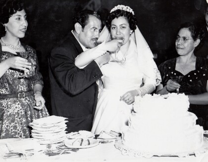
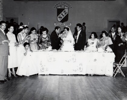
Herminia and Ray Duran's Wedding Toast
Herminia and Ray Duran toast as newlyweds next to Herminia's ...
Cardiel Family Downtown Juarez, Mexico - 1950's
Cardiel Family including Guadalupe Cardiel, Carmen Cardie ...
Herminia and Ray Duran's Wedding Toast
Herminia and Ray Duran toast at their wedding surrounded by ...
Nona and Dale Resler's First Home
The house formally known to Dale as "The Bachelor's Den" became ...
