Map of Texas and Adjacent Regions in the Eighteenth Century
Mapa de Texas y regiones adyacentes en el siglo dieciocho
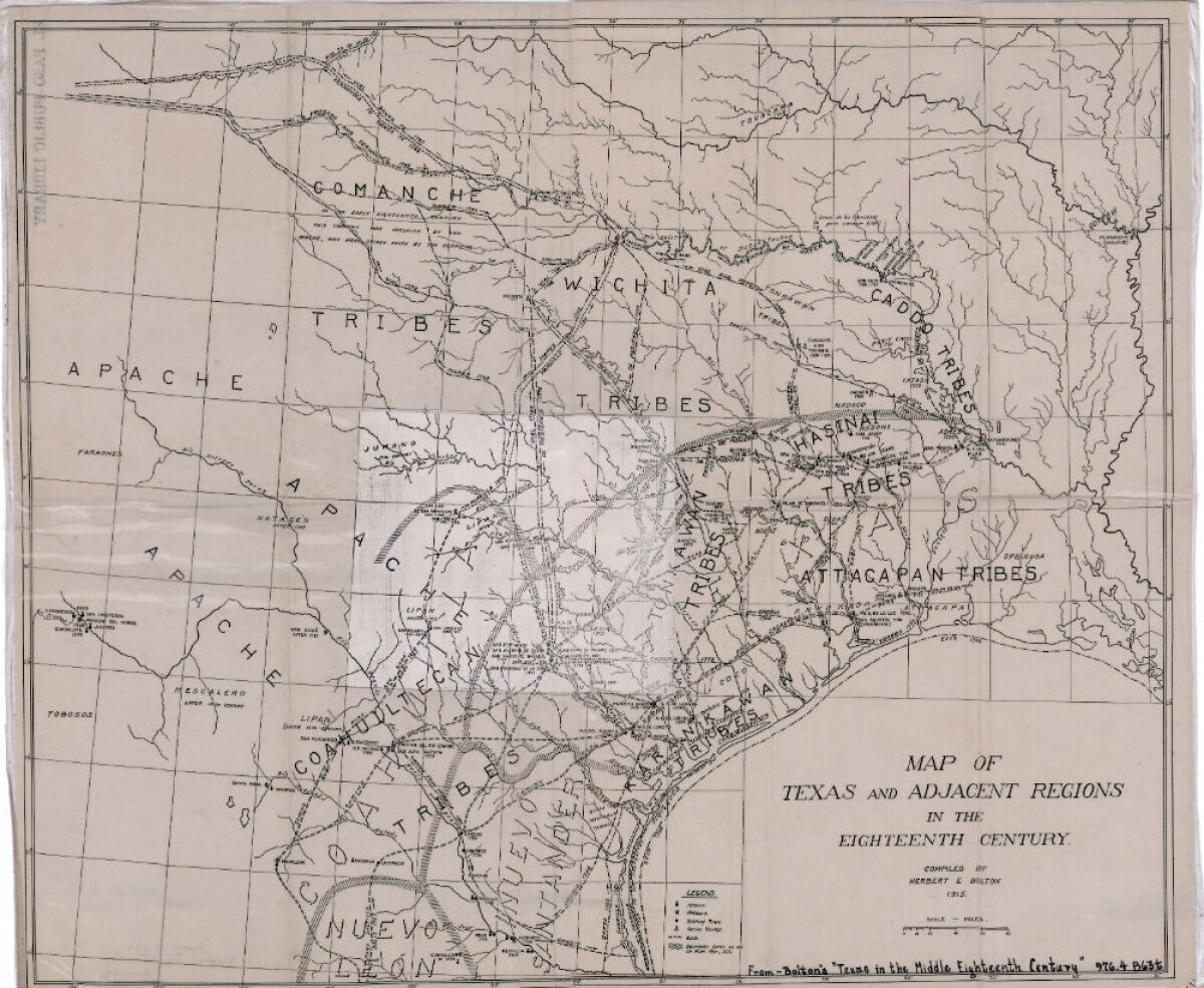
Map of Texas and Adjacent Regions in the Eighteenth Century
Map of Texas and the adjacent regions illustrating missions, presidios, Spanish towns, Indian villages, rivers, roads and boundary lines. Indian tribe names are shown in their areas of concentration.
Report this entry
More from the same community-collection
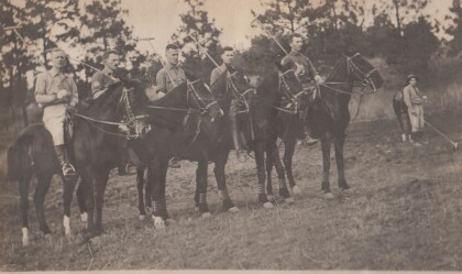
Polo Team, Troop "B" Va. Cav., Anniston, Alabama
Lt. Col. Featherstone served in the Virginia National Guard, and ...
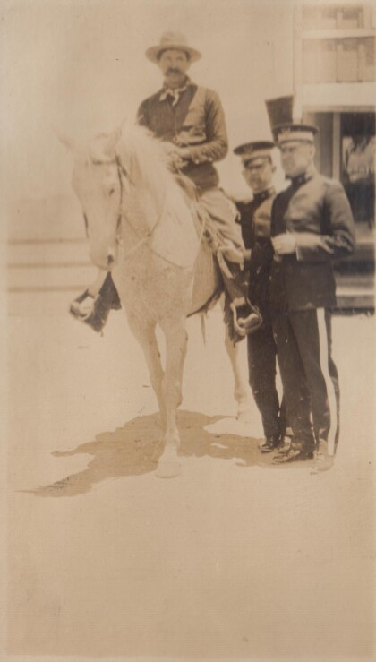
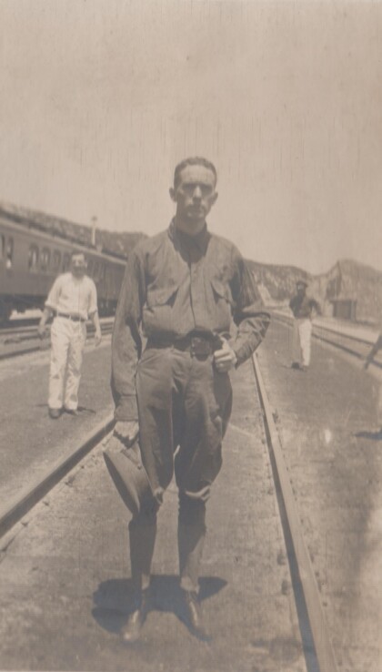
A "Bad Man" at Albuquerque, New Mexico
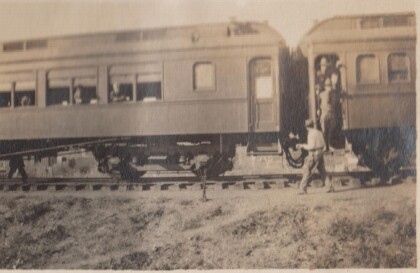
In 1915, the Richmond Light Infantry took a train trip to ...
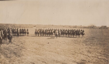
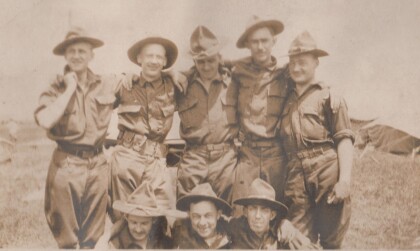
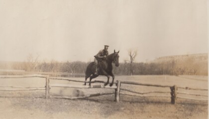
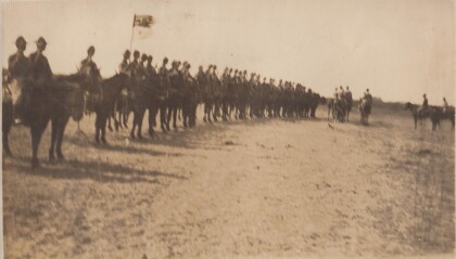
Inspection, B Troop, Virgina Cavalry
Lt. Col. Featherstone was First Sergeant, then 2nd Lieutenant, ...
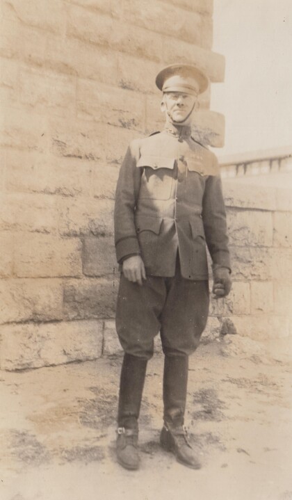
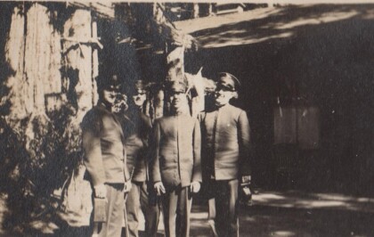
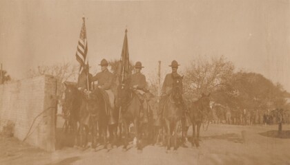
Capt. Puller [sic], Virginia Cavalry
The Virginia Cavalry was a National Guard unit that served on ...


![Capt. Puller [sic], Virginia Cavalry](https://www.digie.org/media_cache/27601/27601_latest_upload.jpg)
