Map of Texas and Adjacent Regions in the Eighteenth Century
Mapa de Texas y regiones adyacentes en el siglo dieciocho
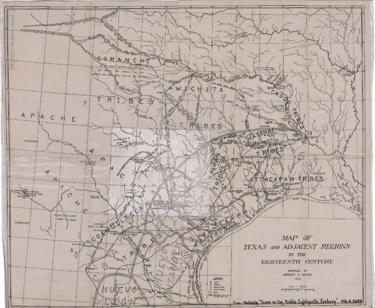
Map of Texas and Adjacent Regions in the Eighteenth Century
Map of Texas and the adjacent regions illustrating missions, presidios, Spanish towns, Indian villages, rivers, roads and boundary lines. Indian tribe names are shown in their areas of concentration.
Report this entry
More from the same community-collection
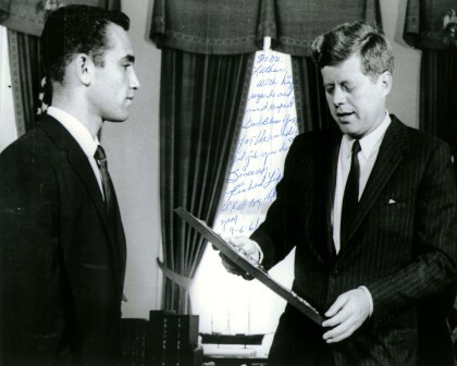
John F. Kennedy with Richard Lopez of El Paso, TX 1961
President John F. Kennedy meets with the Boys' Clubs of ...
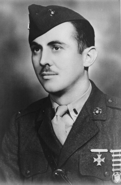
First Lieutenant William Deane Hawkins - El Paso, Texas
Deane Hawkins was a smart boy-at El Paso's Lamar and Alta Vista ...
Fitzgerald Children on Horseback
Gertrude Fitzgerald took pictures of her own children as well as ...
