Structural Map of Trans-Pecos Texas
Mapa estructural de Pecos Texas
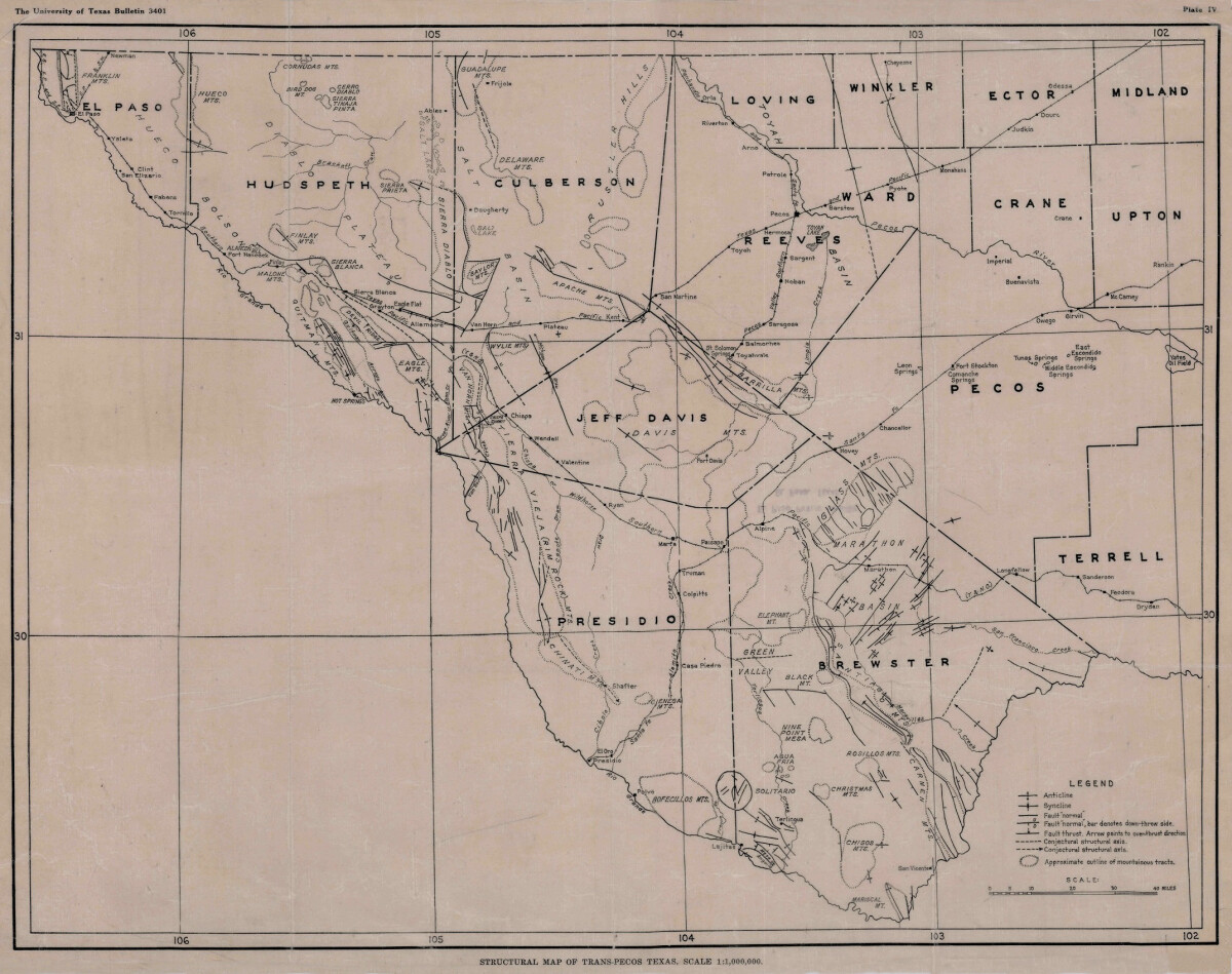
Structural Map of Trans-Pecos Texas
Map of the Trans-Pecos, Texas area; Outlines and lines are shown for mountainous tracks, anticline, syncline, fault, and structural axis. Includes county names: El Paso, Hudspeth, Culberson,Jeff Davis, Presidio, Brewster, Terrell, Pecos, Upton, Crane, Ward, Reeves, Loving, Winkler, Ector and Midland. The Rio Grande river, railway lines, forts, towns, and cities are indicated.
Report this entry
More from the same community-collection
Teepees at Indian Cliffs Ranch in Fabens, TX
Teepees at Indian Cliffs Ranch in Fabens, TX - These tepees are ...
Headquarters of F. I. Madero (Casa Adobe)
The notation on the back of the image says: " Across the Rio ...
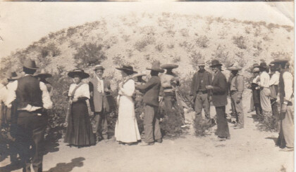
Tourists During Mexican Revolution
Two women and a man (center left) are preparing to pose for ...
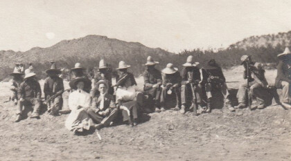
Tourists during Mexican Revolution
A group of people is sitting in the dessert. The two women and ...
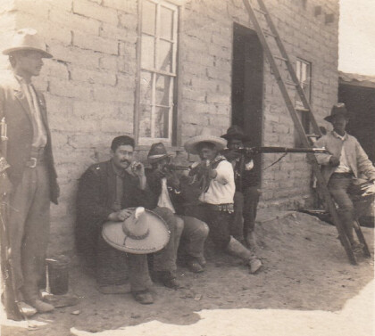
Tourists during Mexican Revolution, part 4
Two women and one man are posing with some rebels for a ...


