Structural Map of Trans-Pecos Texas
Mapa estructural de Pecos Texas
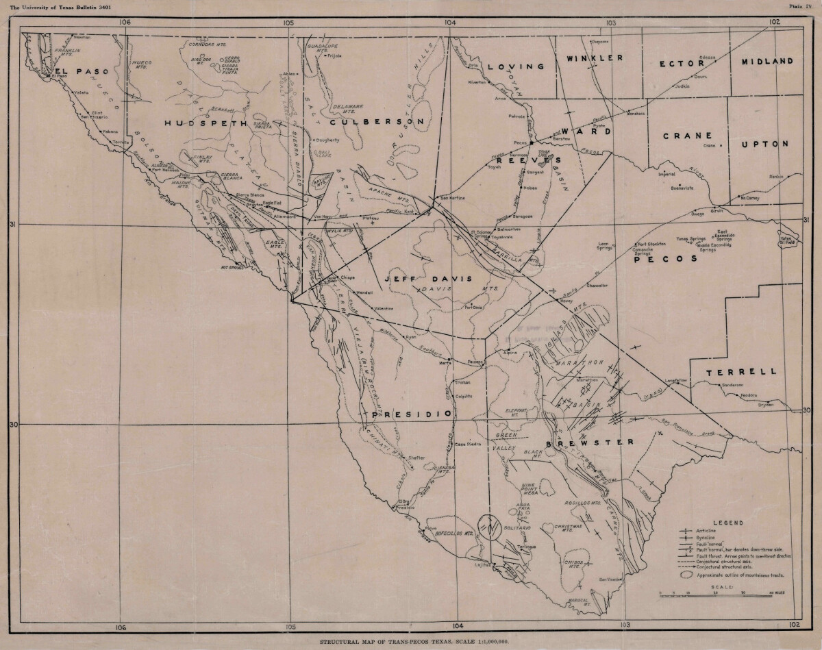
Structural Map of Trans-Pecos Texas
Map of the Trans-Pecos, Texas area; Outlines and lines are shown for mountainous tracks, anticline, syncline, fault, and structural axis. Includes county names: El Paso, Hudspeth, Culberson,Jeff Davis, Presidio, Brewster, Terrell, Pecos, Upton, Crane, Ward, Reeves, Loving, Winkler, Ector and Midland. The Rio Grande river, railway lines, forts, towns, and cities are indicated.
Report this entry
More from the same community-collection
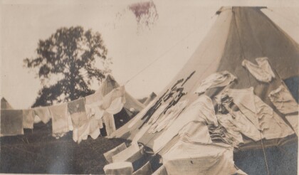
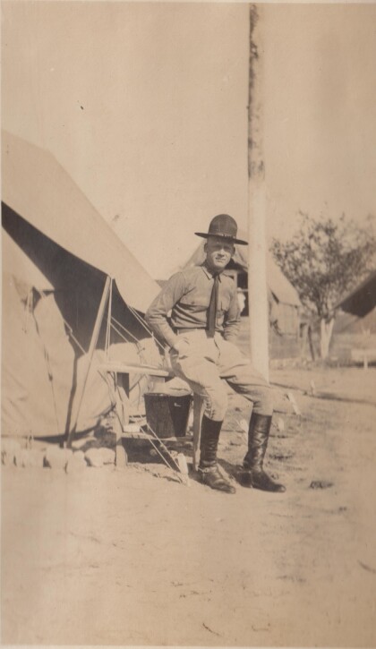
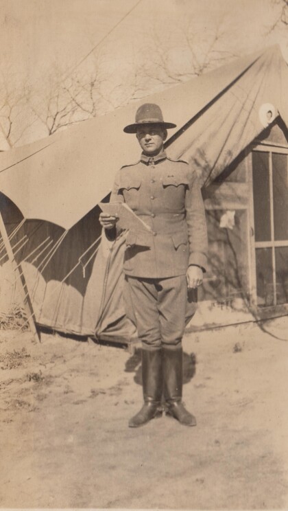
My tent at Gordonsville, Virginia
Drill camp for the Richmond Light Infantry. Apparently laundry ...
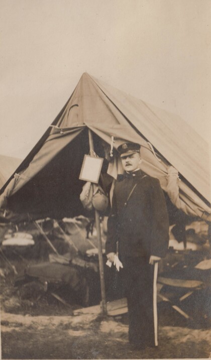
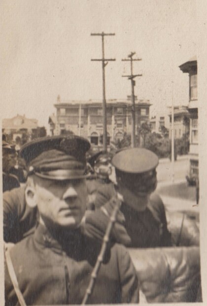
An officer of the Richmond Light Infantry
This photographs is probably from the Gordonsville encampment.
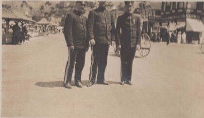
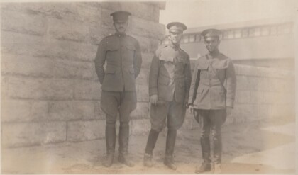
Evans, Epps, and Jones in Catalina, California
The Richmond Light Infantry traveled to California in 1915.
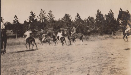
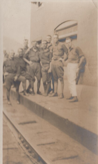
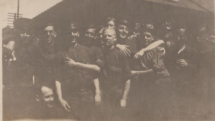
A dirty crowd at Montgovery, West Virginia
This is the Richmond Light Infantry,probably on route to ...
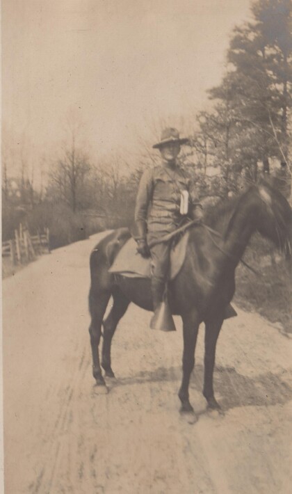
Featherston at training camp in Alabama
The Virgina Cavalry may have gone to training camp in Alabama ...
Lt. Featherstone, "B" Troop, Virginia Cavalry
The Virginia Cavalry were National Guard troops serving on the ...
Lt. Burke, "A" Troop, Virginia Cavalry
The Virginia Cavalry was mustered into the National Guard for ...
Lt. Parsons, "D" Troop, Virginia Cavalry
The Virginia Cavalry were National Guard troops who served on ...
Lt. Sweeney, "A" Troop, Virginia Cavalry
The Virginia Cavalry served on the border in 1916 as National ...
