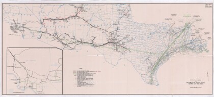
Texas, New Mexico, and Indian Territory
Texas, Nuevo México y Territorio Indio con alrededores de Chicago y Nueva Orleans
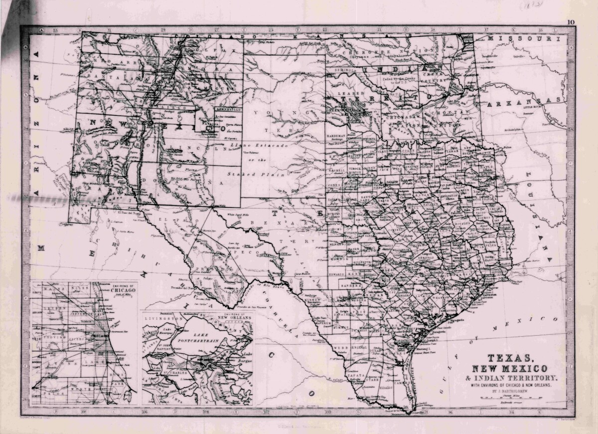
Texas, New Mexico, and Indian Territory
Map of Texas counties and New Mexico showing Indian Territories with insets of Chicago and New Orleans. County boundaries are outlined and Indian nations are named. Topographical features of borders with New Mexico, Arkansas and Mexico are illustrated.
Report this entry
More from the same community-collection
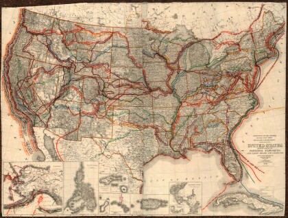
United States - Routes of Principal Explorers
This United States map colorfully illustrates routes taken by ...
Map of the Rio Grande El Paso-Juarez Valley circa 1930
This map illustrates the river path between El Paso, Texas and ...
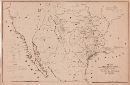
Map of Texas and the Countries Adjacent
This map of Texas and its adjacent countries was compiled for ...
Map of Southwestern United States Natural Gas Pipe Lines
This map illustrates natural gas pipelines extending from ...
