Map No. 1 from Fort Smith to the Rio Grande
Mapa numero 1º desde Fort Smith hasta el Río Grande.
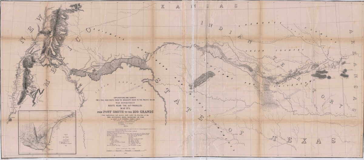
Map No. 1 from Fort Smith to the Rio Grande
Map of the route near the 35th parallel. Part of the explorations and surveys for a railroad route from the Mississippi River to the Pacific ocean. Compiled from the explorations and surveys made under the direction of the Secretary of War. Map has topographical features: mountains, sierras, rivers, and creeks. Prairie and timber areas are indicated. Indian tribe concentrations, forts, wagon trail lines, and some cities are shown.
Report this entry
More from the same community-collection
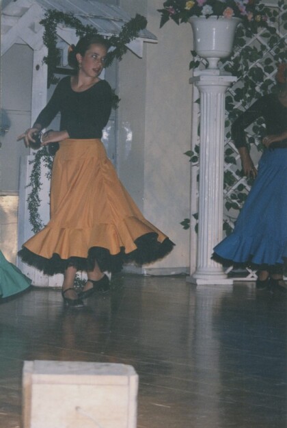
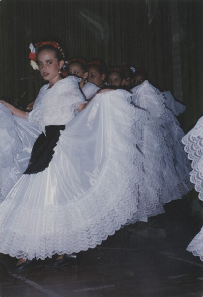
Folklorico Dance Recital with Castanets
Toni Marie Jones Gymnasio Dublan, Chihuahua, Mexico, June, 1998
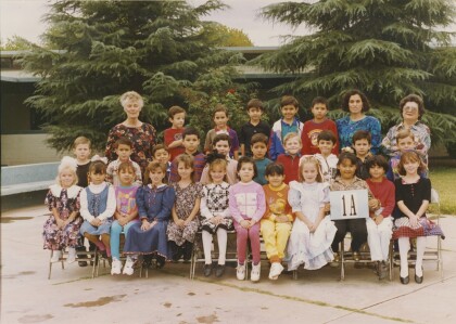
First Grade Class Picture Escuela Manuel, Colonia Dublan
First Grade Class Picture, Escuela Manuel, Colonia Dublan, ...
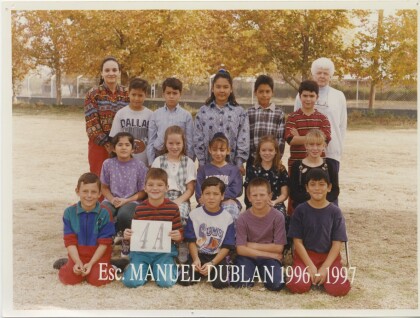
Fourth Grade Class Picture, Escuela Manuel, Colonia Dublan
Fourth Grade Class Picture Escuela Manuel, Colonia Dublan, ...
Kindergarten Class Picture, Escuela Manuel, Colonia Dublan
Kindergarten Class Picture, Kindergarten Classroom, Escuela ...
Third Grade School Picture, Escuela Manuel, Colonia Dublan
Third Grade School Picture, Escuela Manuel, Colonia Dublank, ...
Third Grade Class Picture, Escuela Manuel, Colonia Dublan
Third Grade Class Picture, Escuela Manuel, Colonia Dublan, ...
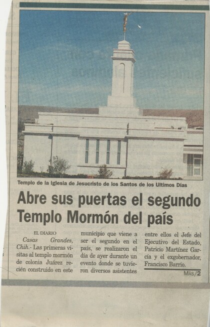
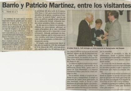
Article about the Colonia Juarez Temple
Article about the Colonia Juarez Temple, Nuevo Casas Grandes, ...
Continuation of Article about the Colonia Juarez Temple
Continuation of Article about the Colonia Juarez Temple, Nuevo ...
JLEP- Provisional Project 2020-2021
The Junior League of El Paso, Inc. (JLEP)’s Provisional Class ...
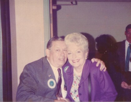
Felix Antone Jr. of El Paso meets Governor Ann Richards, 1989
Felix Antone Jr. of El Paso meets Governor Ann Richards, 1989
