Map No. 1 from Fort Smith to the Rio Grande
Mapa numero 1º desde Fort Smith hasta el Río Grande.
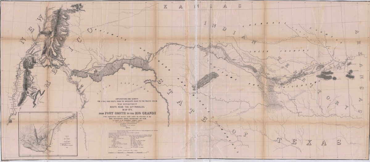
Map No. 1 from Fort Smith to the Rio Grande
Map of the route near the 35th parallel. Part of the explorations and surveys for a railroad route from the Mississippi River to the Pacific ocean. Compiled from the explorations and surveys made under the direction of the Secretary of War. Map has topographical features: mountains, sierras, rivers, and creeks. Prairie and timber areas are indicated. Indian tribe concentrations, forts, wagon trail lines, and some cities are shown.
Report this entry
More from the same community-collection
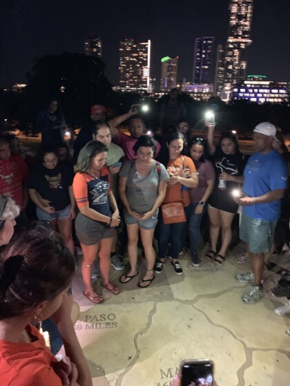
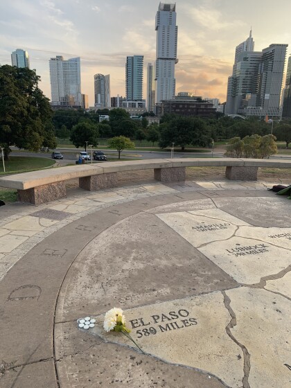
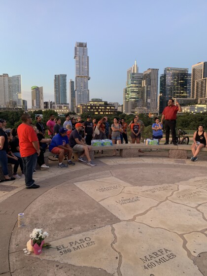
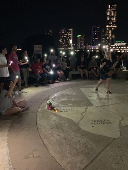
Remembering the victims of EP Shooting, from 580 miles away.
The names of the victims were called and a minute of silence ...
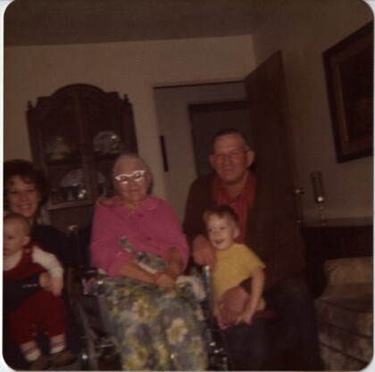
Four Generation Kirkham Family Picture
B-Carol Hatch, Nan Kirkham (Carol's Grandmother), Cleo Kirkham ...
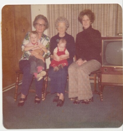
Grandma Grover Four Generation Photo
B-Blanche Grover Kirkham (Carol's Mom), Elnorah Grover, Carol ...
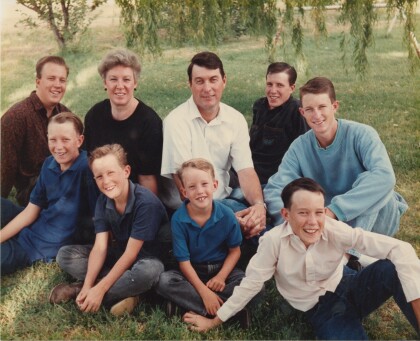
Travis Hatch Wedding Family Picture
B-Garrett, Gerald F-Berkley, Gregory, Randall, Quintin, Carol, ...
