Map No. 1 from Fort Smith to the Rio Grande
Mapa numero 1º desde Fort Smith hasta el Río Grande.
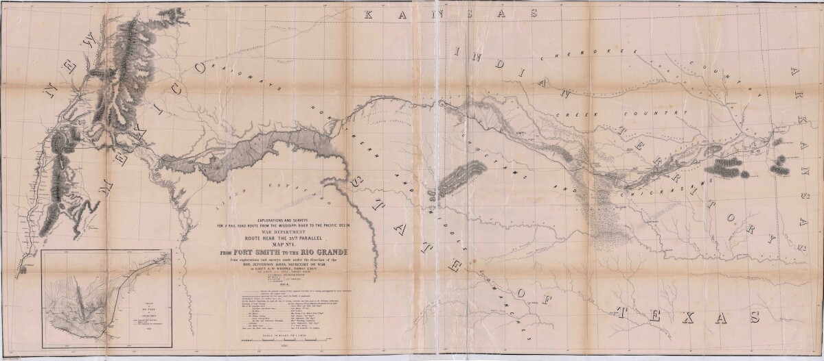
Map No. 1 from Fort Smith to the Rio Grande
Map of the route near the 35th parallel. Part of the explorations and surveys for a railroad route from the Mississippi River to the Pacific ocean. Compiled from the explorations and surveys made under the direction of the Secretary of War. Map has topographical features: mountains, sierras, rivers, and creeks. Prairie and timber areas are indicated. Indian tribe concentrations, forts, wagon trail lines, and some cities are shown.
Report this entry
More from the same community-collection
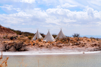
Teepees at Indian Cliffs Ranch in Fabens, TX
Teepees at Indian Cliffs Ranch in Fabens, TX - These tepees are ...
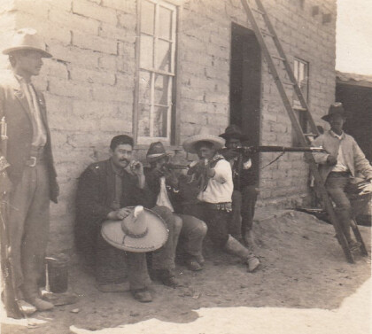
Headquarters of F. I. Madero (Casa Adobe)
The notation on the back of the image says: " Across the Rio ...
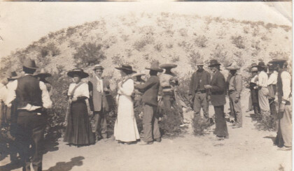
Tourists During Mexican Revolution
Two women and a man (center left) are preparing to pose for ...
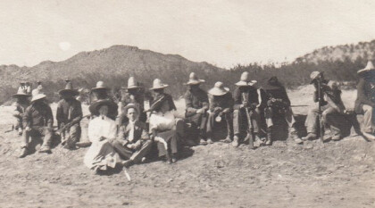
Tourists during Mexican Revolution
A group of people is sitting in the dessert. The two women and ...
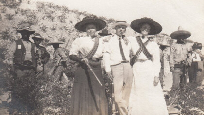
Tourists during Mexican Revolution, part 4
Two women and one man are posing with some rebels for a ...

