Map No. 1 from Fort Smith to the Rio Grande
Mapa numero 1º desde Fort Smith hasta el Río Grande.
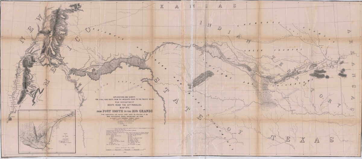
Map No. 1 from Fort Smith to the Rio Grande
Map of the route near the 35th parallel. Part of the explorations and surveys for a railroad route from the Mississippi River to the Pacific ocean. Compiled from the explorations and surveys made under the direction of the Secretary of War. Map has topographical features: mountains, sierras, rivers, and creeks. Prairie and timber areas are indicated. Indian tribe concentrations, forts, wagon trail lines, and some cities are shown.
Report this entry
More from the same community-collection
Smoke Free Anthony, Texas - 2017
Passing of a smoke-free ordinance in Anthony, Texas on Monday, ...
Family Photograph - Texas State University
Leaving my brother at his school - Texas State University.
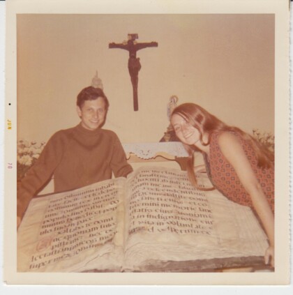
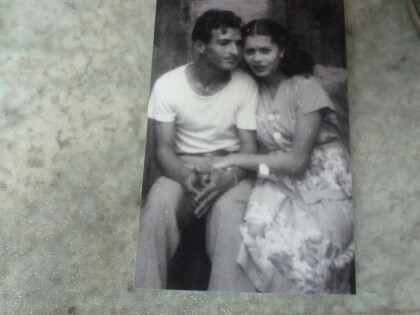
1970 Jorge & Rosa Angulo's honeymoon in Guatemala.
1970 Jorge & Rosa Angulo's honeymoon in Guatemala. Picture taken ...
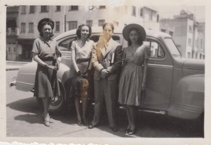
Carlota, Hermila & Perla circa 1938
Taken in front of the monument to the Revolution, Mexico City; ...
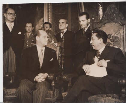
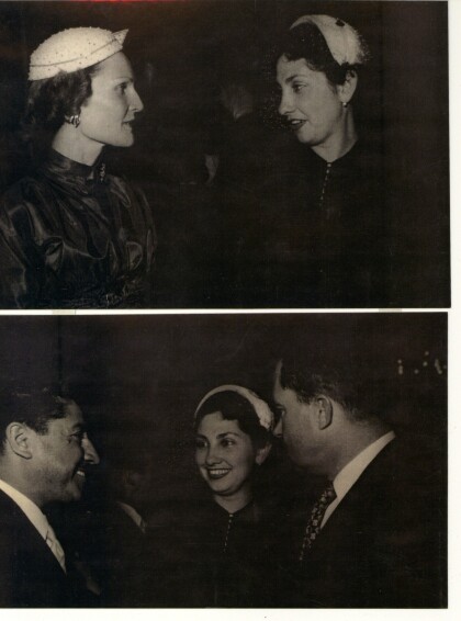
1952 Ramiro Gereda-Aleman - El Paso, Texas
Ramiro Gereda Asturias presenting credentials as ambassador to ...
Lucy Alvarez w/ Pat Nixon & Richard Nixon, Mexico 1954
Lucy Alvarez with Pat and Ridchard Nixon during their visit to ...
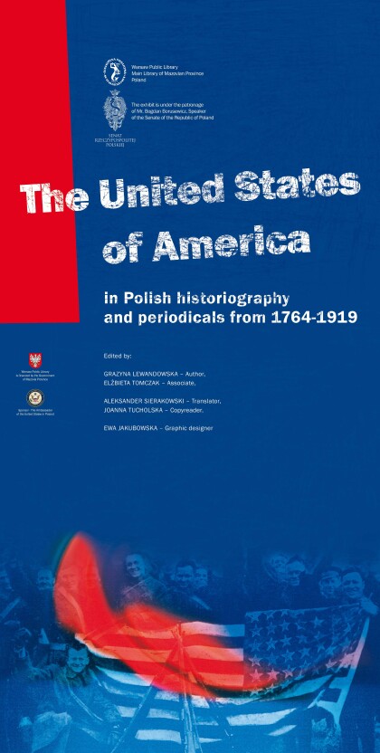
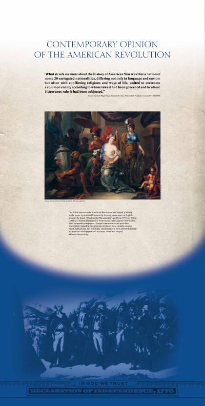
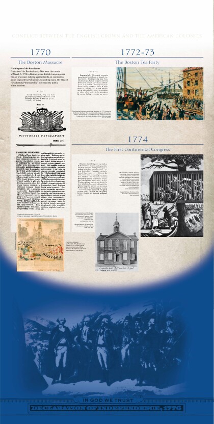
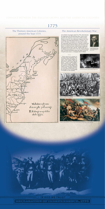
Exhibit provided by Polish American Society 2014
Title panel - US in Polish Historiography and Periodicals ...
