Map No. 1 from Fort Smith to the Rio Grande
Mapa numero 1º desde Fort Smith hasta el Río Grande.
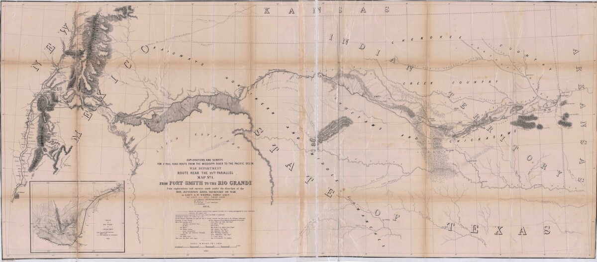
Map No. 1 from Fort Smith to the Rio Grande
Map of the route near the 35th parallel. Part of the explorations and surveys for a railroad route from the Mississippi River to the Pacific ocean. Compiled from the explorations and surveys made under the direction of the Secretary of War. Map has topographical features: mountains, sierras, rivers, and creeks. Prairie and timber areas are indicated. Indian tribe concentrations, forts, wagon trail lines, and some cities are shown.
Report this entry
More from the same community-collection
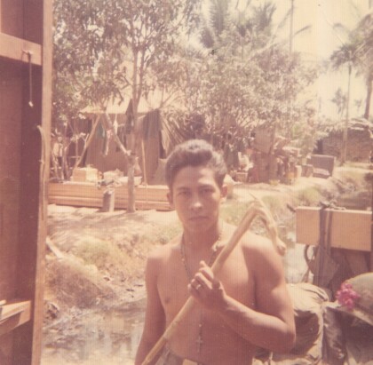
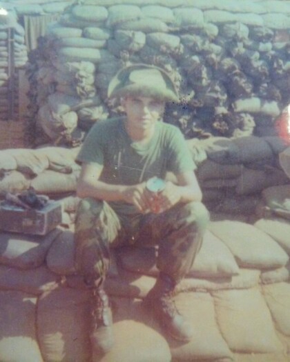
Fernando Villela - Vietnam - 1969
"Leisure time back in camp, displaying my "short" walking cane ...
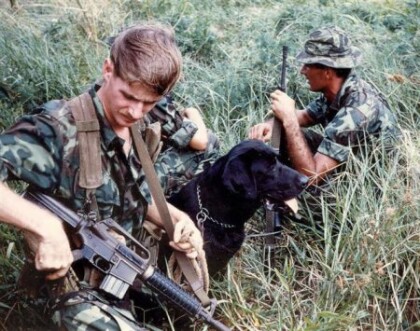
Secret War Dogs In Vietnam - 1960 - 1969
Photograph - was presented by Chuck Steward who was a member of ...
Cpl. Victor A. Flores - Vietnam - 1969
"I graduated from Bel Air High School and was 19 years old, when ...
Robert Lewis Hall - Vietnam - 1966
SP4 Hall, Robert Lewis Robert (Bob-o) Lewis Hall was born and ...
After Vietnam - Fernando Villela - 1973
"After Vietnam - Celebrating Life"! "Got out in December 1971 ...
Jose Antonio "Tony" Garcia - Vietnam - 1968
"My name is Jose Antonio "Tony" Garcia, and I am a native El ...
Sgt. Jesus R. Vasquez - Vietnam - 1965
Jesus Roberto Vasquez went to San Juan Elementary School (now ...
Jesus Roberto Vasquez - Marine - 1965
Jesus Roberto Vasquez's Platoon in training camp - Jesus Roberto ...
