Map No. 1 from Fort Smith to the Rio Grande
Mapa numero 1º desde Fort Smith hasta el Río Grande.
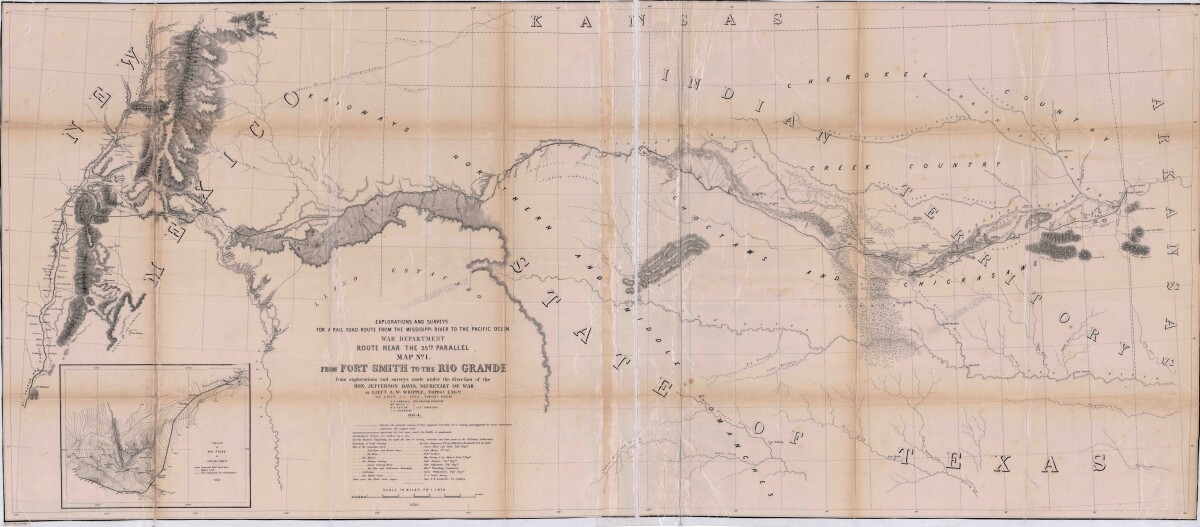
Map No. 1 from Fort Smith to the Rio Grande
Map of the route near the 35th parallel. Part of the explorations and surveys for a railroad route from the Mississippi River to the Pacific ocean. Compiled from the explorations and surveys made under the direction of the Secretary of War. Map has topographical features: mountains, sierras, rivers, and creeks. Prairie and timber areas are indicated. Indian tribe concentrations, forts, wagon trail lines, and some cities are shown.
Report this entry
More from the same community-collection
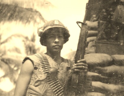
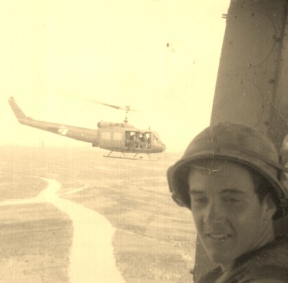
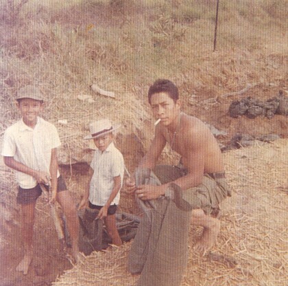
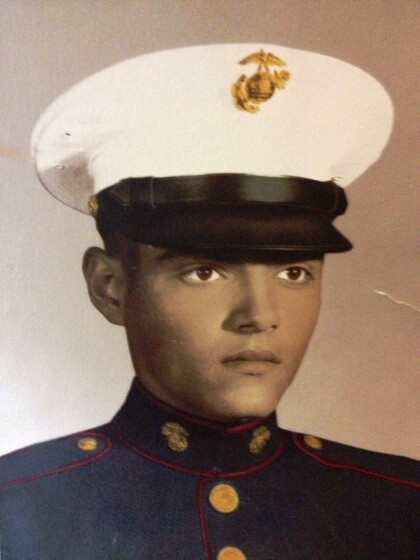
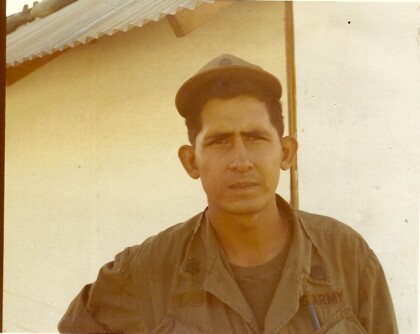
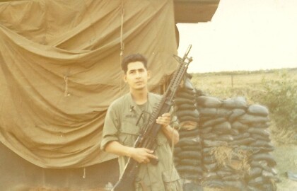
Fernando F. Villela - Vietnam - 1969
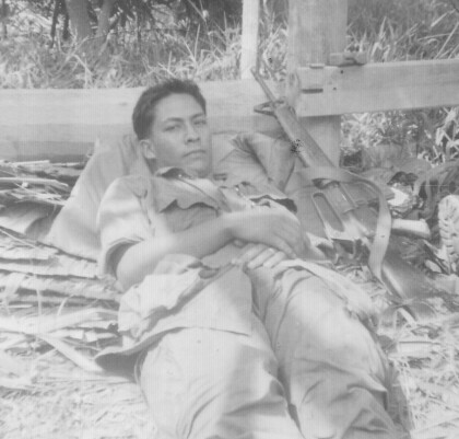
Fernando F. Villela laying down after a fire-fight from treeline ...
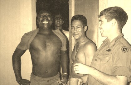
Fernando F. Villela - Vietnam - 1969
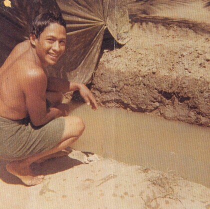
Fernando F. Villela - Vietnam - 1969 "Just showered at bunker ...
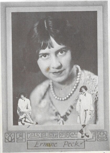
Ermine Peck McKay Hourigan - 1926
Mother of Thomas McKay - Founder - El Paso Boxing - Martial Arts ...
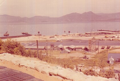
Camranh Bay in Vietnam - Fernando Villela - 1969
Photograph: Overview of Cam ranh Bay in Vietnam - 1969. On April ...
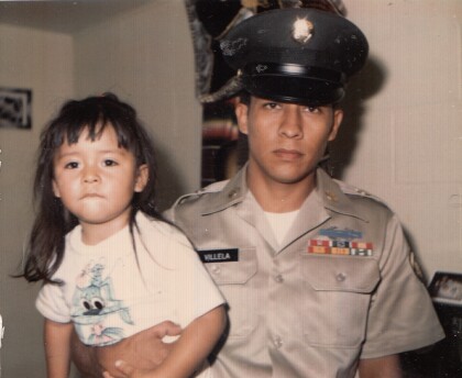
Fernando Villela Holding His Daughter - 1971
" Just before I got out of the Army". Fernando Villela holding ...
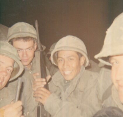
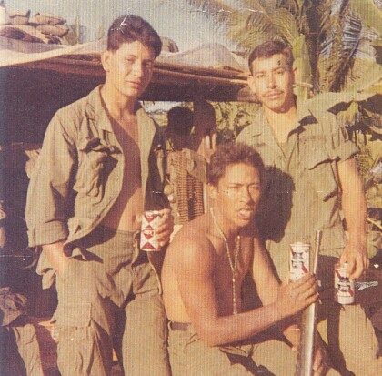
Vietnam - 1969 - Fernando Villela
"First Lieutenant in our company - real straight nice guy - in ...
