Map No. 1 from Fort Smith to the Rio Grande
Mapa numero 1º desde Fort Smith hasta el Río Grande.
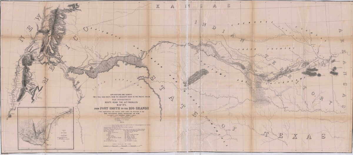
Map No. 1 from Fort Smith to the Rio Grande
Map of the route near the 35th parallel. Part of the explorations and surveys for a railroad route from the Mississippi River to the Pacific ocean. Compiled from the explorations and surveys made under the direction of the Secretary of War. Map has topographical features: mountains, sierras, rivers, and creeks. Prairie and timber areas are indicated. Indian tribe concentrations, forts, wagon trail lines, and some cities are shown.
Report this entry
More from the same community-collection
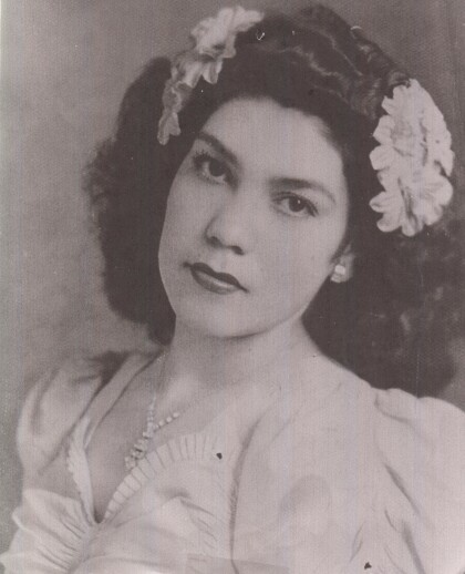
Pedro Lerma Sr. & Jovita Nicasio Lerma
Wedding photograph in the 1940's of Mr & Mrs. Pedro Lerma Sr.
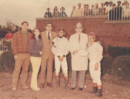
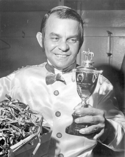
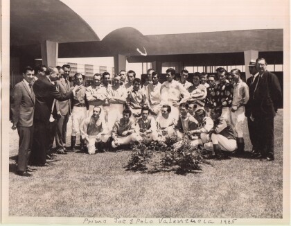
Race - Track - Cleveland - 1970
Winners Circle - Apolonio Valenzuela is the jockey in the middle ...
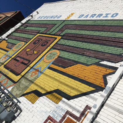
Beautiful Mural on Sacred Heart Catholic Church
Most popular murals of Segundo Barrio, This mural has so much ...
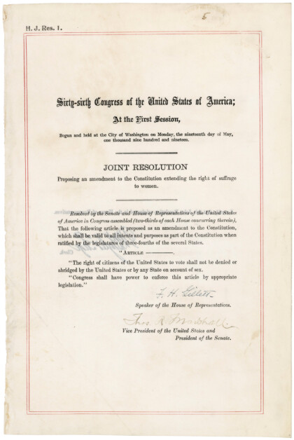
The Woman's Club of El Paso - 1919
American women gain the right to vote! Passed by Congress on ...
Joe Gomez with El Paso's Jennifer Han World Champion
Jennifer Han and Joe Gomez after her induction into the El Paso ...
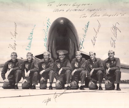
Blue Angels Flight Team - 1955
Blue Angels Flight Team - Date taken - 9-12-55 - NAS Pensacola, ...
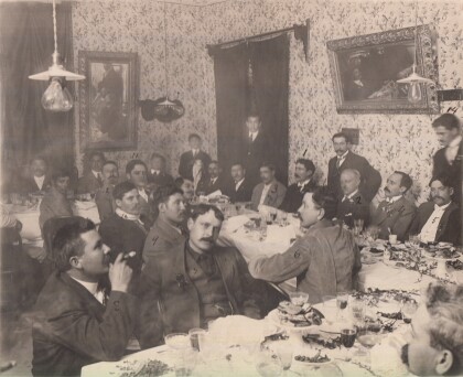
Banquet Offered By General Orozco - 1912
Banquet Offered By General Pascual Orozco - to Juan Sarabia.
