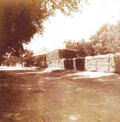
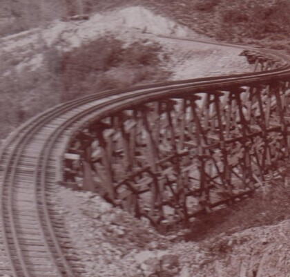
Map No. 1 from Fort Smith to the Rio Grande
Mapa numero 1º desde Fort Smith hasta el Río Grande.
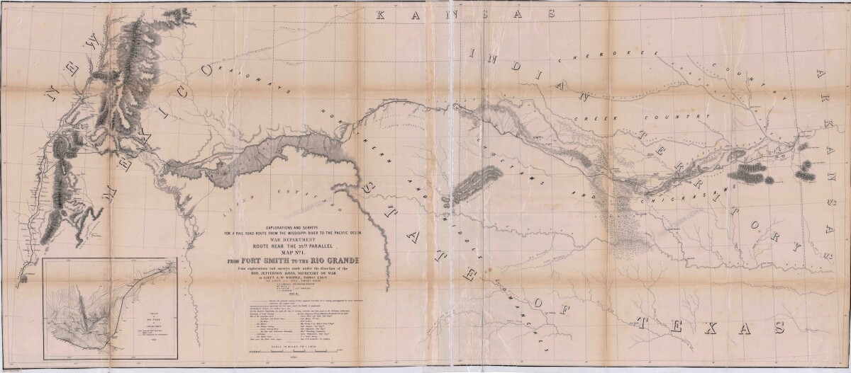
Map No. 1 from Fort Smith to the Rio Grande
Map of the route near the 35th parallel. Part of the explorations and surveys for a railroad route from the Mississippi River to the Pacific ocean. Compiled from the explorations and surveys made under the direction of the Secretary of War. Map has topographical features: mountains, sierras, rivers, and creeks. Prairie and timber areas are indicated. Indian tribe concentrations, forts, wagon trail lines, and some cities are shown.
Report this entry
More from the same community-collection
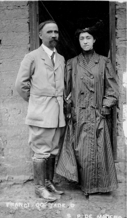
Francisco I. Madero and his Wife Sara Pérez
The image shows Francisco I. Madero and his wife Sara Pérez. ...
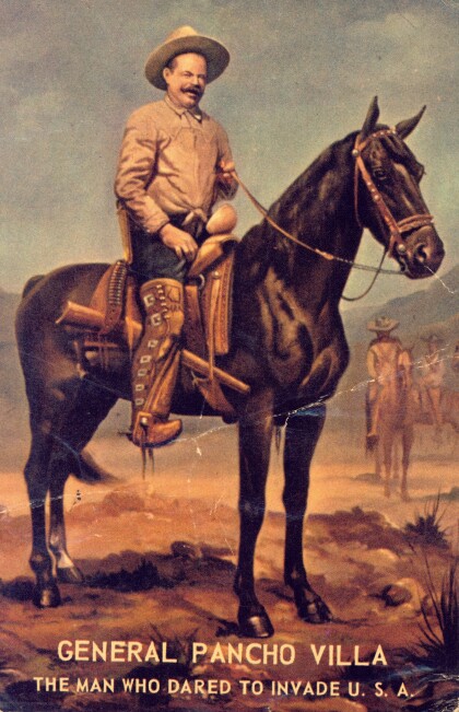
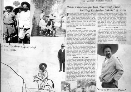
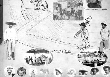
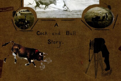
Otis Aultman photographs Pancho Villa
Photographer Otis Aultman gets exclusive photos of Mexican ...
