Map No. 1 from Fort Smith to the Rio Grande
Mapa numero 1º desde Fort Smith hasta el Río Grande.
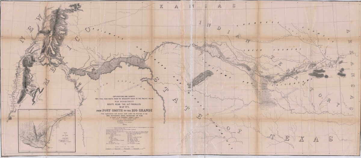
Map No. 1 from Fort Smith to the Rio Grande
Map of the route near the 35th parallel. Part of the explorations and surveys for a railroad route from the Mississippi River to the Pacific ocean. Compiled from the explorations and surveys made under the direction of the Secretary of War. Map has topographical features: mountains, sierras, rivers, and creeks. Prairie and timber areas are indicated. Indian tribe concentrations, forts, wagon trail lines, and some cities are shown.
Report this entry
More from the same community-collection
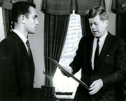
John F. Kennedy with Richard Lopez of El Paso, TX 1961
President John F. Kennedy meets with the Boys' Clubs of ...
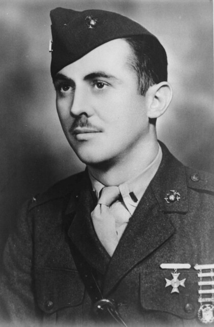
First Lieutenant William Deane Hawkins - El Paso, Texas
Deane Hawkins was a smart boy-at El Paso's Lamar and Alta Vista ...
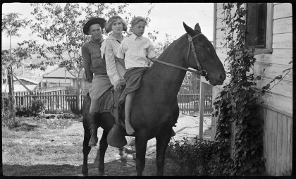
Fitzgerald Children on Horseback
Gertrude Fitzgerald took pictures of her own children as well as ...
Border Heritage Center is in Main Library, Downtown, El Paso,TX